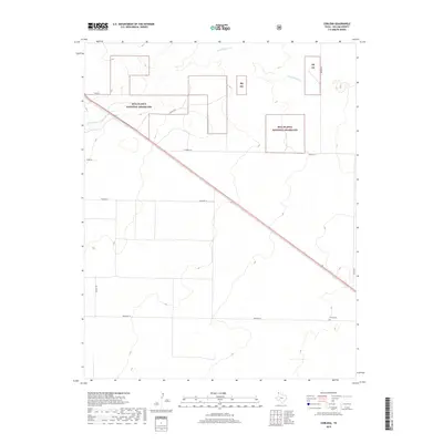
2019 Map of Corlena
USGS Topo · Published 2019About this map
Rita Blanca National Grassland dominates this high plains landscape in the far northwestern corner of the Texas Panhandle. Fragmented parcels of protected prairie are interspersed with private holdings, divided by a rigid grid of rural routes including Beckman Ln, Crum Rd, and Hester Rd. The ephemeral drainage of W Rita Blanca Cr meanders across the northern portion of the quadrangle, illustrating the sparse water resources of Dallam County. Near the intersection of Beckman Ln and the corridor for Highway 87, the Perico Cem stands as a quiet marker of the area's early twentieth-century ranching and farming heritage. This map provides a look at the intersection of modern land management and historical settlement patterns in a region defined by its wide-open cattle country and the legacy of the Dust Bowl-era reclamation.
Find a feature on this map
14 named features on this map. Tap any name to fly to it.
Don’t see what you’re looking for? This feature index may not catch every label — zoom into the map to look around manually.
Map Details
Editions of this 2019 Corlena Map
This is the sole edition of this map. No revisions or reprints were ever made.
Other maps of this area

1954 · Dalhart
USGS Topo · 1:250,000

1958 · Dalhart
USGS Topo · 1:250,000

1962 · Dalhart
USGS Topo · 1:250,000

1970 · Texline South
USGS Topo · 1:24,000

1970 · Texline North
USGS Topo · 1:24,000

1970 · Sedan NE
USGS Topo · 1:24,000

1973 · Buffalo Springs
USGS Topo · 1:24,000

1973 · Wharton Ranch
USGS Topo · 1:24,000

1973 · Corlena
USGS Topo · 1:24,000

1973 · Perico
USGS Topo · 1:24,000