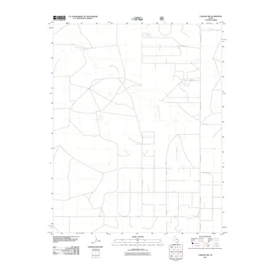
2011 Map of Corlena NW
USGS Topo · Published 2011About this map
East Rita Blanca Creek meanders through this High Plains landscape in Dallam County, defining a drainage pattern across an otherwise open and strictly gridded territory. In the early 21st century, the area is characterized by large-scale agricultural blocks and a network of rural routes such as Ranch Road 2586 and FM-296. The layout of the land is largely dictated by these section lines and local roads, including named corridors like Thompson Grove Ln and Coulter Rd, which service scattered homesteads and ranching operations. In the northeastern corner, Coldwater Creek adds further topographic variation to the northern Panhandle terrain. This survey provides a clear view of the ranching infrastructure and naming conventions, such as Howard and Newton Ln, used during this period of Texas land management.
Find a feature on this map
12 named features on this map. Tap any name to fly to it.
Don’t see what you’re looking for? This feature index may not catch every label — zoom into the map to look around manually.
Map Details
Editions of this 2011 Corlena NW Map
This is the sole edition of this map. No revisions or reprints were ever made.
Other maps of this area

1954 · Dalhart
USGS Topo · 1:250,000

1958 · Dalhart
USGS Topo · 1:250,000

1962 · Dalhart
USGS Topo · 1:250,000

1969 · Felt SW
USGS Topo · 1:24,000

1969 · Felt
USGS Topo · 1:24,000

1970 · Texline South
USGS Topo · 1:24,000

1970 · Texline North
USGS Topo · 1:24,000

1972 · Rardin Hill
USGS Topo · 1:24,000

1973 · Buffalo Springs
USGS Topo · 1:24,000

1973 · Corlena
USGS Topo · 1:24,000