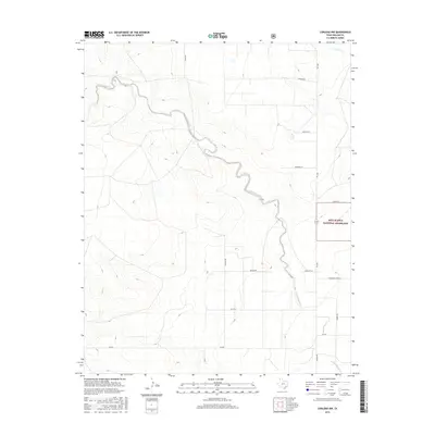
2016 Map of Corlena NW
USGS Topo · Published 2016About this map
E Rita Blanca Cr carves a winding path across this portion of the Texas Panhandle, defining the drainage patterns in the high plains of Dallam County. Much of the eastern landscape is dedicated to the Rita Blanca National Grassland, a protected area that preserves the native shortgrass prairie ecosystem. The topography is marked by gentle slopes leading toward the primary creek bed and its northern neighbor, Coldwater Creek.
Find a feature on this map
17 named features on this map. Tap any name to fly to it.
Don’t see what you’re looking for? This feature index may not catch every label — zoom into the map to look around manually.
Map Details
Editions of this 2016 Corlena NW Map
This is the sole edition of this map. No revisions or reprints were ever made.
Other maps of this area

1954 · Dalhart
USGS Topo · 1:250,000

1958 · Dalhart
USGS Topo · 1:250,000

1962 · Dalhart
USGS Topo · 1:250,000

1969 · Felt SW
USGS Topo · 1:24,000

1969 · Felt
USGS Topo · 1:24,000

1970 · Texline South
USGS Topo · 1:24,000

1970 · Texline North
USGS Topo · 1:24,000

1972 · Rardin Hill
USGS Topo · 1:24,000

1973 · Buffalo Springs
USGS Topo · 1:24,000

1973 · Corlena
USGS Topo · 1:24,000