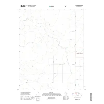
2019 Map of Corlena NW
USGS Topo · Published 2019About this map
E Rita Blanca Cr meanders across the high plains of the Texas Panhandle, defining the drainage patterns of this sparsely populated cattle and agricultural corridor in Dallam County. The landscape is characterized by its vast open stretches, part of which are preserved within the Rita Blanca National Grassland. This 2019 survey documents a rural network of family-named roads and rural routes, such as Ratzlaff Ln, Newton Ln, and Thompson Grove Ln, which connect the remote homesteads and ranching operations of the region.
Find a feature on this map
16 named features on this map. Tap any name to fly to it.
Don’t see what you’re looking for? This feature index may not catch every label — zoom into the map to look around manually.
Map Details
Editions of this 2019 Corlena NW Map
This is the sole edition of this map. No revisions or reprints were ever made.
Other maps of this area

1954 · Dalhart
USGS Topo · 1:250,000

1958 · Dalhart
USGS Topo · 1:250,000

1962 · Dalhart
USGS Topo · 1:250,000

1969 · Felt SW
USGS Topo · 1:24,000

1969 · Felt
USGS Topo · 1:24,000

1970 · Texline South
USGS Topo · 1:24,000

1970 · Texline North
USGS Topo · 1:24,000

1972 · Rardin Hill
USGS Topo · 1:24,000

1973 · Buffalo Springs
USGS Topo · 1:24,000

1973 · Corlena
USGS Topo · 1:24,000