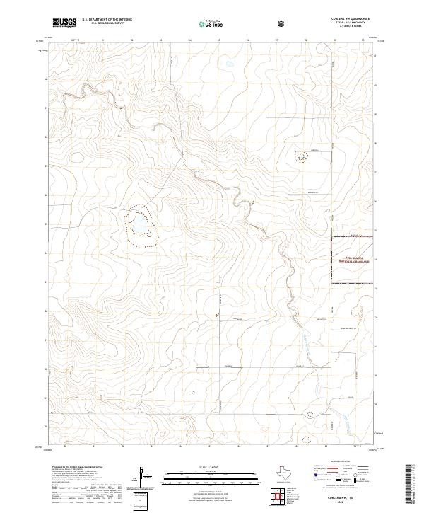
2022 Map of Corlena NW
USGS Topo · Published 2022About this map
Rita Blanca National Grassland dominates the eastern portion of this Dallam County landscape, representing the high plains conservation efforts in the Texas Panhandle. The topography is defined by the drainage of E Rita Blanca Cr, which winds through the southern reaches of the quadrangle. A network of rural section roads and farm-to-market routes, including Fm 2586 and Fm 296, provides the primary infrastructure for the ranching and agricultural operations that characterize the region. Named family roads such as Poole Rd, Newton Ln, and McDaniel Ln offer specific points of interest for genealogists tracing local land ownership and historical property boundaries in this sparsely populated corner of the state near the New Mexico border.
Find a feature on this map
16 named features on this map. Tap any name to fly to it.
Don’t see what you’re looking for? This feature index may not catch every label — zoom into the map to look around manually.
Map Details
Editions of this 2022 Corlena NW Map
This is the sole edition of this map. No revisions or reprints were ever made.
Other maps of this area

1954 · Dalhart
USGS Topo · 1:250,000

1958 · Dalhart
USGS Topo · 1:250,000

1962 · Dalhart
USGS Topo · 1:250,000

1969 · Felt SW
USGS Topo · 1:24,000

1969 · Felt
USGS Topo · 1:24,000

1970 · Texline South
USGS Topo · 1:24,000

1970 · Texline North
USGS Topo · 1:24,000

1972 · Rardin Hill
USGS Topo · 1:24,000

1973 · Buffalo Springs
USGS Topo · 1:24,000

1973 · Corlena
USGS Topo · 1:24,000