
2014 Map of Corn Lake
USGS Topo · Published 2014About this map
Horseshoe Rim dominates the central topography of this Harney County landscape, forming a distinct crescent above the surrounding basins. This High Desert terrain is defined by its drainage patterns, notably the path of Juniper Cr and the intermittent flows of Macs Draw in the northeastern corner. The map reveals a sparse network of access routes, including Bacon Camp Rd and the evocatively named Nasty Flat Rd, which traverse the open flats of Dry Valley. These features suggest a working rangeland environment, where the land is partitioned into large townships like t31s r25e, emphasizing the vast scale of the Oregon interior where geography is shaped by elevation and water availability.
Find a feature on this map
10 named features on this map. Tap any name to fly to it.
Don’t see what you’re looking for? This feature index may not catch every label — zoom into the map to look around manually.
Map Details
Editions of this 2014 Corn Lake Map
This is the sole edition of this map. No revisions or reprints were ever made.
Other maps of this area

1955 · Adel
USGS Topo · 1:250,000

1957 · Adel
USGS Topo · 1:250,000

1958 · Adel
USGS Topo · 1:250,000

1962 · Adel
USGS Topo · 1:250,000

1966 · Rabbit Hills NE
USGS Topo · 1:24,000

1966 · Rabbit Hills NW
USGS Topo · 1:24,000

1967 · Bluejoint Lake West
USGS Topo · 1:24,000
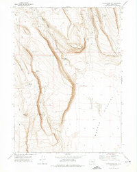
1971 · Corporation Rim
USGS Topo · 1:24,000
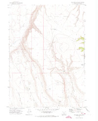
1971 · Red Bank Lakes
USGS Topo · 1:24,000
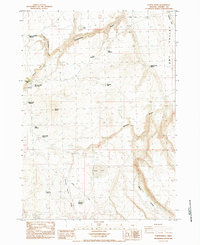
1984 · Turpin Knoll
USGS Topo · 1:24,000