
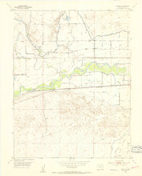
1953 Map of Cornelia
USGS Topo · Published 1954About this map
The Arkansas River carves a vital corridor through Bent County, Colorado, defining a landscape of irrigation and transport in the early 1950s. This survey illustrates the intricate water management system required for high-plains agriculture, featuring the Fort Lyon Canal, Horse Creek Reservoir Outlet Ditch, and the Las Animas State Fish Hatchery. Small rural communities and stops like Cornelia, Marlman, and Riverdale are anchored by the Atchison Topeka and Santa Fe railroad, which runs parallel to the river. Education in this agrarian region is represented by dispersed one-room structures such as the Horse Creek School, Cornelia School, and Melonsfield School. The topography transitions from the river bottom to the Picketwire Valley, where the historic route of the Santa Fe Trail is noted along the bluffs. These details provide a clear look at the human footprint on the land, from the Adobe Road to the various gravel pits and quarries that supported local infrastructure.
Find a feature on this map
19 named features on this map. Tap any name to fly to it.
Don’t see what you’re looking for? This feature index may not catch every label — zoom into the map to look around manually.
Map Details
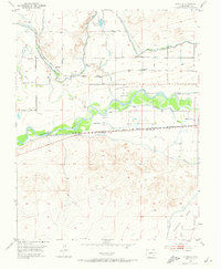
Editions of this 1953 Cornelia Map
3 editions found
Other maps of this area

1891 · Higbee
USGS Topo · 1:125,000

1891 · Las Animas
USGS Topo · 1:125,000

1893 · Higbee
USGS Topo · 1:125,000

1893 · Las Animas
USGS Topo · 1:125,000

1953 · Las Animas
USGS Topo · 1:24,000

1953 · Hadley
USGS Topo · 1:24,000

1954 · Lamar
USGS Topo · 1:250,000

1955 · Mc Intosh Ranch
USGS Topo · 1:24,000

1955 · Bishop Ranch
USGS Topo · 1:24,000
1955 · Lewis Ranch
USGS Topo · 1:24,000