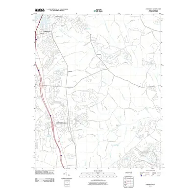
2010 Map of Cornelius
USGS Topo · Published 2010About this map
Cornelius and Huntersville anchor this 2010 survey of the developing corridor north of Charlotte, where suburban expansion meets the historical rural landscape. The map captures a moment of transition, showing established enclaves like Smithville and Caldwell alongside emerging residential street networks. The hydrological system is defined by the Rocky River and its various tributaries, including the South Prong West Branch Rocky River and Ramah Creek, which wind through the eastern reaches of the quadrangle.
Find a feature on this map
73 named features on this map. Tap any name to fly to it.
Don’t see what you’re looking for? This feature index may not catch every label — zoom into the map to look around manually.
Map Details
Editions of this 2010 Cornelius Map
This is the sole edition of this map. No revisions or reprints were ever made.
Other maps of this area

1893 · Statesville
USGS Topo · 1:125,000

1941 · Charlotte
USGS Topo · 1:125,000

1942 · Charlotte
USGS Topo · 1:125,000

1948 · Paw Creek
USGS Topo · 1:24,000

1948 · Derita
USGS Topo · 1:24,000

1949 · Kannapolis
USGS Topo · 1:24,000

1949 · Harrisburg
USGS Topo · 1:24,000

1949 · Hicks Crossroads
USGS Topo · 1:24,000

1953 · Charlotte
USGS Topo · 1:250,000

1954 · Charlotte
USGS Topo · 1:250,000