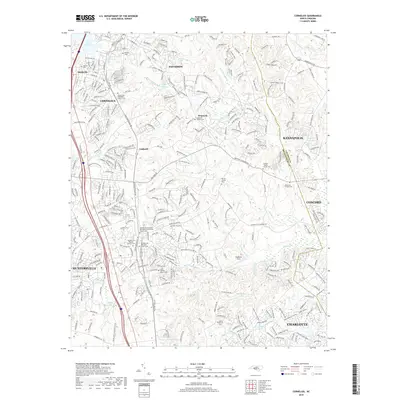
2019 Map of Cornelius
USGS Topo · Published 2019About this map
Cornelius and Davidson anchor the northern reaches of this 2019 survey, illustrating the modern expansion of northern Mecklenburg Co near the edge of Lake Norman. The landscape is a dense network of residential development and winding roads like Grey Rd and Jetton St, yet it preserves a remarkable number of historical touchstones. A concentrated cluster of spiritual and family landmarks, including the Mount Zion Methodist Church Cem and the Cashion Moore Family Cem, provides a detailed record for genealogists.
Find a feature on this map
329 named features on this map. Tap any name to fly to it.
Don’t see what you’re looking for? This feature index may not catch every label — zoom into the map to look around manually.
Map Details
Editions of this 2019 Cornelius Map
This is the sole edition of this map. No revisions or reprints were ever made.
Other maps of this area

1893 · Statesville
USGS Topo · 1:125,000

1941 · Charlotte
USGS Topo · 1:125,000

1942 · Charlotte
USGS Topo · 1:125,000

1948 · Paw Creek
USGS Topo · 1:24,000

1948 · Derita
USGS Topo · 1:24,000

1949 · Kannapolis
USGS Topo · 1:24,000

1949 · Harrisburg
USGS Topo · 1:24,000

1949 · Hicks Crossroads
USGS Topo · 1:24,000

1953 · Charlotte
USGS Topo · 1:250,000

1954 · Charlotte
USGS Topo · 1:250,000