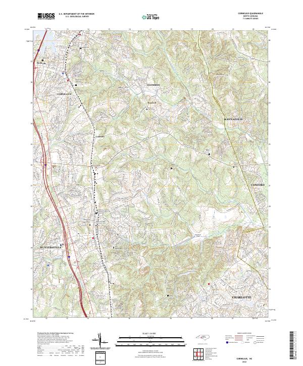
2022 Map of Cornelius
USGS Topo · Published 2022About this map
Davidson College anchors the northern portion of this Mecklenburg County landscape, situated near the headwaters of the S Prong W Br Rocky River. The suburban progression of Cornelius, Davidson, and Huntersville is deeply interwoven with a network of local history markers, including the Mount Zion Methodist Church Cem and the Huntersville Associate Reformed Presbyterian Church Cem. This area serves as a significant drainage divide, where Caldwell Station Cr and Torrence Cr flow toward the Catawba basin, while Ramah Cr and Clarke Cr feed the Rocky River system to the east. Genealogists will find a high density of burial grounds throughout the quadrangle, from the Cashion - Moore Family Cem near Caldwell to the Asbury Church Cem on the edge of Charlotte.
Find a feature on this map
48 named features on this map. Tap any name to fly to it.
Don’t see what you’re looking for? This feature index may not catch every label — zoom into the map to look around manually.
Map Details
Editions of this 2022 Cornelius Map
This is the sole edition of this map. No revisions or reprints were ever made.
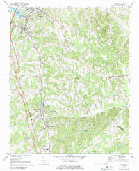
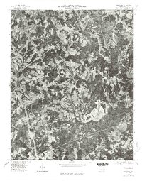
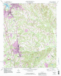
Historical Maps of Cornelius Through Time
4 maps found