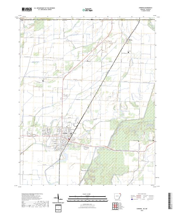
2024 Map of Corning
USGS Topo · Published 2024About this map
Corning serves as the regional hub at the intersection of the Union Pacific Railroad and several vital waterways in Clay County. The landscape is defined by an intricate network of drainage ditches such as Byrnes Ditch, Middle Creek Ditch, and Cypress Creek Ditch, reflecting the long-term engineering required to manage the wetlands of the Black River basin. The river itself meanders through the southern portion of the quadrangle, creating distinctive features like Sweet Clover Bend and Victory Lake.
Find a feature on this map
89 named features on this map. Tap any name to fly to it.
Don’t see what you’re looking for? This feature index may not catch every label — zoom into the map to look around manually.
Map Details
Editions of this 2024 Corning Map
This is the sole edition of this map. No revisions or reprints were ever made.
Other maps of this area

1935 · Acorn
USGS Topo · 1:62,500

1935 · Rector
USGS Topo · 1:62,500

1935 · Knobel
USGS Topo · 1:62,500

1935 · Harviell
USGS Topo · 1:62,500

1940 · Naylor
USGS Topo · 1:62,500

1941 · Knobel
USGS Topo · 1:62,500

1944 · Naylor
USGS Topo · 1:62,500

1957 · Poplar Bluff
USGS Topo · 1:250,000

1958 · Rector
USGS Topo · 1:62,500

1959 · Poplar Bluff
USGS Topo · 1:250,000