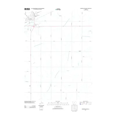
2013 Map of Corning South
USGS Topo · Published 2013About this map
Corning serves as the northern anchor of this landscape, where the E Nodaway River flows past the Adams County Fairgrounds and the nearby Adams County Speedway. The geography is defined by a dense network of watercourses, including the curiously named W Fork One Hundred and Two River and its companion, the W Br One Hundred and Two River, which carve their way south toward the boundary at Adams-Taylor St. Small settlements like Mercer and Holt punctuate the rural sections, connected by a grid of agricultural roads such as Mulberry Ave and Orange Ave. The mapping of small tributaries like Willow Cr, Lonzo Cr, and Rose Br provides an intricate look at the local drainage patterns that have shaped land use and property boundaries in this part of southwestern Iowa for generations.
Find a feature on this map
57 named features on this map. Tap any name to fly to it.
Don’t see what you’re looking for? This feature index may not catch every label — zoom into the map to look around manually.
Map Details
Editions of this 2013 Corning South Map
This is the sole edition of this map. No revisions or reprints were ever made.
Other maps of this area

1954 · Omaha
USGS Topo · 1:250,000

1955 · Nebraska City
USGS Topo · 1:250,000

1957 · Nebraska City
USGS Topo · 1:250,000

1957 · Omaha
USGS Topo · 1:250,000

1958 · Omaha
USGS Topo · 1:250,000

1958 · Nebraska City
USGS Topo · 1:250,000

1980 · Corning South
USGS Topo · 1:24,000

1980 · Gravity
USGS Topo · 1:24,000

1980 · Merle Junction
USGS Topo · 1:24,000

1980 · Lenox
USGS Topo · 1:24,000