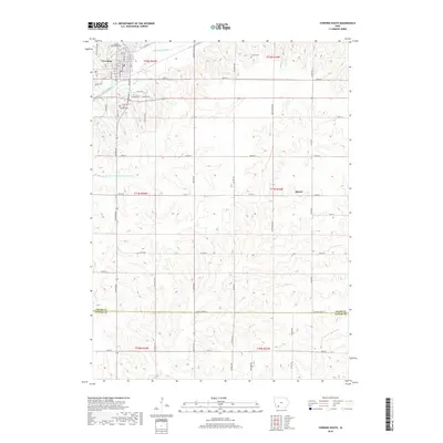
2018 Map of Corning South
USGS Topo · Published 2018About this map
Corning serves as the focal point of this Adams and Taylor County landscape, situated at the confluence of the East Nodaway River and the small grid of city streets including Loomis Ave and Davis Ave. The map preserves the cultural geography of this Iowa farming region, marked by numerous small cemeteries such as Walnut Grove Cem and the Icarian Cem, the latter referencing the area's communal history. To the south, the terrain transitions across the Adams Co Taylor Co line, where the headwaters of the W Fork One Hundred and Two River emerge. Small rural nodes like Mercer and Grove Ch anchor the surrounding townships, connected by a network of section-line roads like 220th St and named gravel routes that follow the river valley's natural contours.
Find a feature on this map
64 named features on this map. Tap any name to fly to it.
Don’t see what you’re looking for? This feature index may not catch every label — zoom into the map to look around manually.
Map Details
Editions of this 2018 Corning South Map
This is the sole edition of this map. No revisions or reprints were ever made.
Other maps of this area

1954 · Omaha
USGS Topo · 1:250,000

1955 · Nebraska City
USGS Topo · 1:250,000

1957 · Nebraska City
USGS Topo · 1:250,000

1957 · Omaha
USGS Topo · 1:250,000

1958 · Omaha
USGS Topo · 1:250,000

1958 · Nebraska City
USGS Topo · 1:250,000

1980 · Corning South
USGS Topo · 1:24,000

1980 · Gravity
USGS Topo · 1:24,000

1980 · Merle Junction
USGS Topo · 1:24,000

1980 · Lenox
USGS Topo · 1:24,000