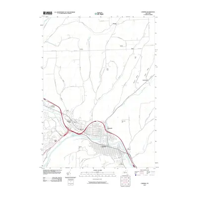
2010 Map of Corning
USGS Topo · Published 2010About this map
The confluence of the Tioga River, Cohocton River, and Chemung River defines the landscape around Corning and Painted Post. This network of waterways is shadowed by modern transportation corridors and surrounded by a high density of early burial grounds, including the Saint Marys, Hope, and High Street cemeteries. The valley floor transitions into high ground marked by Higman Hill and Pine Hill, with hollows like Mormon Hollow and Erwin Hollow carving through the terrain to the north and east.
Find a feature on this map
70 named features on this map. Tap any name to fly to it.
Don’t see what you’re looking for? This feature index may not catch every label — zoom into the map to look around manually.
Map Details
Editions of this 2010 Corning Map
This is the sole edition of this map. No revisions or reprints were ever made.
Other maps of this area

1895 · Elmira
USGS Topo · 1:62,500

1898 · Watkins Glen
USGS Topo · 1:62,500

1901 · Watkins
USGS Topo · 1:62,500

1903 · Hammondsport
USGS Topo · 1:62,500

1905 · Watkins Glen
USGS Topo · 1:125,000

1914 · Corning
USGS Topo · 1:62,500

1944 · Corning
USGS Topo · 1:62,500

1950 · Elmira
USGS Topo · 1:250,000

1953 · Campbell
USGS Topo · 1:24,000

1953 · Bradford
USGS Topo · 1:24,000