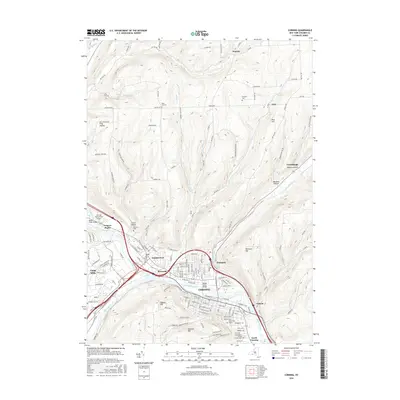
2016 Map of Corning
USGS Topo · Published 2016About this map
The Chemung River serves as the central artery for this industrial and transit corridor in Steuben County, where the Cohocton River and Tioga River converge near Painted Post. This junction of three major river valleys has long dictated the development of Corning and its surrounding satellite communities like Riverside and South Corning. The landscape is characterized by steep, narrow hollows and high ridges, including Frog Hollow and Mormon Hollow, which hem in the urbanized flats. Genealogists will find a wealth of burial grounds throughout the quadrangle, ranging from the large St Marys Roman Catholic Cem and Hope Cem in the south to the more isolated West Hill Cem and Goodsell Cem in the northern uplands of Hornby. Infrastructure like the Corning-Painted Post Airport and Meads Creek Bridge highlight the region's role as a regional hub of transportation.
Find a feature on this map
64 named features on this map. Tap any name to fly to it.
Don’t see what you’re looking for? This feature index may not catch every label — zoom into the map to look around manually.
Map Details
Editions of this 2016 Corning Map
This is the sole edition of this map. No revisions or reprints were ever made.
Other maps of this area

1895 · Elmira
USGS Topo · 1:62,500

1898 · Watkins Glen
USGS Topo · 1:62,500

1901 · Watkins
USGS Topo · 1:62,500

1903 · Hammondsport
USGS Topo · 1:62,500

1905 · Watkins Glen
USGS Topo · 1:125,000

1914 · Corning
USGS Topo · 1:62,500

1944 · Corning
USGS Topo · 1:62,500

1950 · Elmira
USGS Topo · 1:250,000

1953 · Campbell
USGS Topo · 1:24,000

1953 · Bradford
USGS Topo · 1:24,000