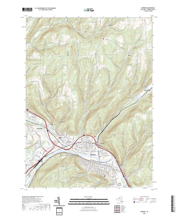
2023 Map of Corning
USGS Topo · Published 2023About this map
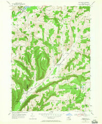
The confluence of the Cohocton River and Tioga River forms the Chemung River at Painted Post, creating a distinctive river-and-valley landscape that has shaped the growth of Corning. This area is characterized by dense settlement along the valley floors, including the communities of Riverside, Gang Mills, and South Corning, all flanked by significant heights like Denmark Hill and Spencer Hill.
Find a feature on this map
171 named features on this map. Tap any name to fly to it.
Don’t see what you’re looking for? This feature index may not catch every label — zoom into the map to look around manually.
Map Details
Editions of this 2023 Corning Map
This is the sole edition of this map. No revisions or reprints were ever made.
Other maps of this area
1895 · Elmira
USGS Topo · 1:62,500
1898 · Watkins Glen
USGS Topo · 1:62,500
1901 · Watkins
USGS Topo · 1:62,500
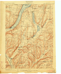
1903 · Hammondsport
USGS Topo · 1:62,500

1905 · Watkins Glen
USGS Topo · 1:125,000
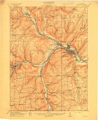
1914 · Corning
USGS Topo · 1:62,500
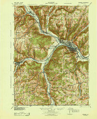
1944 · Corning
USGS Topo · 1:62,500

1950 · Elmira
USGS Topo · 1:250,000
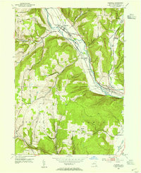
1953 · Campbell
USGS Topo · 1:24,000
1953 · Bradford
USGS Topo · 1:24,000