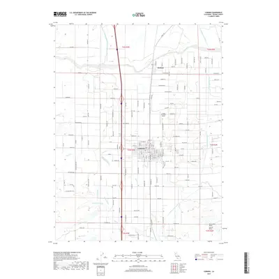
2018 Map of Corning
USGS Topo · Published 2018About this map
Corning and the neighboring settlement of Richfield anchor this portion of the northern Sacramento Valley, where an extensive network of irrigation infrastructure defines the modern agricultural landscape. The Tehama Colusa Canal and Corning Canal cut through the terrain, illustrating the managed water distribution essential to the Central Valley. This survey captures the intersection of traditional rail transport and aviation, with the Union Pacific RR running parallel to Highway 99W and the Corning Municipal Airport positioned just north of the city center. Numerous seasonal waterways, including Thomes Creek, Burch Creek, and Jewett Creek, drain the surrounding fields. The map detail reflects the region's transition from open valley floor to a structured grid of orchards and farmland, evidenced by dozens of named rural roads like Richfield Road and San Jose Road.
Find a feature on this map
135 named features on this map. Tap any name to fly to it.
Don’t see what you’re looking for? This feature index may not catch every label — zoom into the map to look around manually.
Map Details
Editions of this 2018 Corning Map
This is the sole edition of this map. No revisions or reprints were ever made.
Other maps of this area

1890 · Red Bluff
USGS Topo · 1:250,000

1894 · Red Bluff
USGS Topo · 1:250,000

1904 · Vina
USGS Topo · 1:62,500

1905 · Tehama
USGS Topo · 1:62,500

1914 · Kirkwood
USGS Topo · 1:31,680

1914 · McIntosh Landing
USGS Topo · 1:31,680

1944 · Flournoy
USGS Topo · 1:62,500
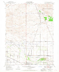
1949 · Kirkwood
USGS Topo · 1:24,000
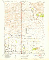
1950 · Kirkwood
USGS Topo · 1:24,000
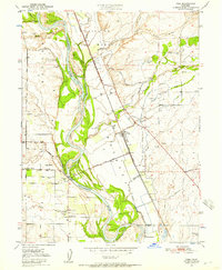
1950 · Vina
USGS Topo · 1:24,000