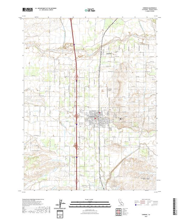
2022 Map of Corning
USGS Topo · Published 2022About this map
Corning and Richfield are the primary hubs of this agricultural landscape in the Sacramento Valley. The town of Corning is defined by a dense grid of streets punctuated by civic landmarks like the Corning Municipal Airport and Sunset Hill Cem. The surrounding terrain is heavily influenced by a sophisticated water management system designed for irrigation, featuring the prominent Corning Canal and the Tehama Colusa Canal that traverse the region.
Find a feature on this map
111 named features on this map. Tap any name to fly to it.
Don’t see what you’re looking for? This feature index may not catch every label — zoom into the map to look around manually.
Map Details
Editions of this 2022 Corning Map
This is the sole edition of this map. No revisions or reprints were ever made.
Other maps of this area

1890 · Red Bluff
USGS Topo · 1:250,000

1894 · Red Bluff
USGS Topo · 1:250,000

1904 · Vina
USGS Topo · 1:62,500

1905 · Tehama
USGS Topo · 1:62,500

1914 · Kirkwood
USGS Topo · 1:31,680

1914 · McIntosh Landing
USGS Topo · 1:31,680

1944 · Flournoy
USGS Topo · 1:62,500
1949 · Kirkwood
USGS Topo · 1:24,000
1950 · Kirkwood
USGS Topo · 1:24,000
1950 · Vina
USGS Topo · 1:24,000