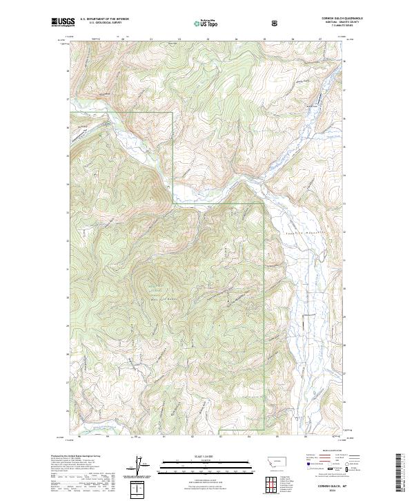
2024 Map of Cornish Gulch
USGS Topo · Published 2024About this map
Deerlodge National Forest covers much of this landscape, where the Sapphire Mountains dominate the horizon. The drainage pattern is characterized by numerous steep ravines and gulches that feed into larger water bodies like Rock Creek. This area's mining heritage is hinted at by features such as Bi-Metallic Gulch, Cornish Gulch, and Eureka Gulch, reflecting the historic search for minerals in these high elevations.
Find a feature on this map
56 named features on this map. Tap any name to fly to it.
Don’t see what you’re looking for? This feature index may not catch every label — zoom into the map to look around manually.
Map Details
Editions of this 2024 Cornish Gulch Map
This is the sole edition of this map. No revisions or reprints were ever made.
Other maps of this area

1908 · Philipsburg
USGS Topo · 1:125,000

1909 · Sapphire
USGS Topo · 1:125,000

1947 · Butte
USGS Topo · 1:250,000

1958 · Butte
USGS Topo · 1:250,000

1960 · Butte
USGS Topo · 1:250,000

1962 · Butte
USGS Topo · 1:250,000

1971 · Antelope Creek
USGS Topo · 1:24,000

1971 · Potato Lakes
USGS Topo · 1:24,000
1971 · Black Pine Ridge
USGS Topo · 1:24,000

1971 · Stony Creek
USGS Topo · 1:24,000