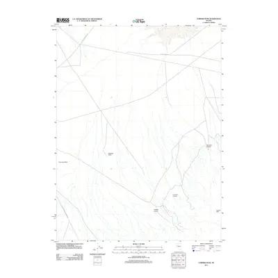
2011 Map of Cornish Peak
USGS Topo · Published 2011About this map
Old Emigrant Trl cuts across the northern desert landscape of Churchill County, marking a corridor of historical transit that predates the modern road network. This high-altitude basin is defined by the broad expanse of Antelope Valley, where numerous seasonal drainage channels flow toward the valley floor from the surrounding heights. To the west, Chocolate Butte stands as a prominent topographical marker, while the eastern terrain rises sharply toward Cornish Peak. The map reveals a network of deep incisions in the earth, including Hughes Canyon, Cornish Canyon, and New York Canyon, which highlight the drainage patterns of this arid environment. Transportation through this remote stretch of Nevada is limited to unpaved routes like Kitten Springs Rd and the Coal Canyon-Stillwater Rd, reflecting the sparse settlement and rugged character of the Great Basin at the start of the 21st century.
Find a feature on this map
9 named features on this map. Tap any name to fly to it.
Don’t see what you’re looking for? This feature index may not catch every label — zoom into the map to look around manually.
Map Details
Editions of this 2011 Cornish Peak Map
This is the sole edition of this map. No revisions or reprints were ever made.
Other maps of this area

1908 · Carson Sink
USGS Topo · 1:250,000

1910 · Carson Sink
USGS Topo · 1:250,000

1931 · Lovelock
USGS Topo · 1:250,000

1932 · Sonoma Range
USGS Topo · 1:250,000

1935 · Lovelock
USGS Topo · 1:250,000

1939 · Sonoma Range
USGS Topo · 1:250,000

1954 · Buffalo Mtn
USGS Topo · 1:62,500

1955 · Millett
USGS Topo · 1:250,000

1955 · Lovelock
USGS Topo · 1:250,000

1955 · Winnemucca
USGS Topo · 1:250,000