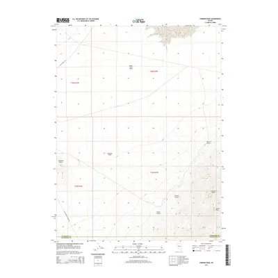
2014 Map of Cornish Peak
USGS Topo · Published 2014About this map
Cornish Peak rises as a central landmark within the Stillwater Range, overlooking the wide desert basins of Nevada. The landscape is defined by its deep drainage patterns, including Cornish Canyon, Hughes Canyon, and New York Canyon, which cut through the mountains toward the Buena Vista Valley and Antelope Valley. The terrain highlights the stark transition between the high peaks and the vast alluvial plains characteristic of the Great Basin.
Find a feature on this map
15 named features on this map. Tap any name to fly to it.
Don’t see what you’re looking for? This feature index may not catch every label — zoom into the map to look around manually.
Map Details
Editions of this 2014 Cornish Peak Map
This is the sole edition of this map. No revisions or reprints were ever made.
Other maps of this area

1908 · Carson Sink
USGS Topo · 1:250,000

1910 · Carson Sink
USGS Topo · 1:250,000

1931 · Lovelock
USGS Topo · 1:250,000

1932 · Sonoma Range
USGS Topo · 1:250,000

1935 · Lovelock
USGS Topo · 1:250,000

1939 · Sonoma Range
USGS Topo · 1:250,000

1954 · Buffalo Mtn
USGS Topo · 1:62,500

1955 · Millett
USGS Topo · 1:250,000

1955 · Lovelock
USGS Topo · 1:250,000

1955 · Winnemucca
USGS Topo · 1:250,000