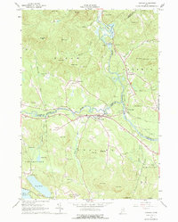
1964 Map of Cornish
USGS Topo · Published 1977About this map
The confluence of the Ossipee River and Saco River serves as the focal point for the village of Cornish, a hub of activity in the mid-1960s where York, Cumberland, and Oxford counties meet. This survey reveals a landscape of high-elevation peaks like Mt Cutler and the Saddleback Hills overlooking a river valley defined by small-scale infrastructure, including the Maine Central railroad and a Substation Powerplant at Great Falls.
Find a feature on this map
68 named features on this map. Tap any name to fly to it.
Don’t see what you’re looking for? This feature index may not catch every label — zoom into the map to look around manually.
Map Details
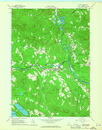
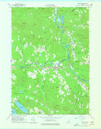
Editions of this 1964 Cornish Map
3 editions found
Other maps of this area

1891 · Buxton
USGS Topo · 1:62,500

1891 · Newfield
USGS Topo · 1:62,500

1892 · Buxton
USGS Topo · 1:62,500

1893 · Buxton
USGS Topo · 1:62,500

1893 · Newfield
USGS Topo · 1:62,500

1896 · Sebago
USGS Topo · 1:62,500

1910 · Kezar Falls
USGS Topo · 1:48,000

1911 · Kezar Falls
USGS Topo · 1:62,500

1933 · Newfield
USGS Topo · 1:48,000

1937 · Newfield
USGS Topo · 1:62,500