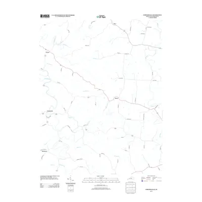
2013 Map of Cornishville
USGS Topo · Published 2013About this map
Cornishville anchors this survey of central Kentucky, where the landscape is defined by the winding course of the Chaplin River and its numerous tributaries. Small settlements such as Bohon, Mayo, and Duncan are connected by a network of rural routes like Central Pike and Jackson Pike, reflecting a persistent pattern of agricultural and domestic settlement. The drainage of the land is particularly detailed, showing the intricate watersheds of Grapevine Creek and Johnsons Creek as they feed into the larger river systems. Genealogists and local historians will find value in the specific naming of rural corridors, such as Bruners Chapel Rd and Brewers Mill Rd, which point to the historical community anchors and early industry that shaped this portion of Mercer County.
Find a feature on this map
56 named features on this map. Tap any name to fly to it.
Don’t see what you’re looking for? This feature index may not catch every label — zoom into the map to look around manually.
Map Details
Editions of this 2013 Cornishville Map
This is the sole edition of this map. No revisions or reprints were ever made.
Other maps of this area

1905 · Harrodsburg
USGS Topo · 1:125,000

1952 · Perryville
USGS Topo · 1:24,000

1952 · Danville
USGS Topo · 1:24,000

1952 · Harrodsburg
USGS Topo · 1:24,000

1952 · Cornishville
USGS Topo · 1:24,000

1952 · Ashbrook
USGS Topo · 1:24,000

1952 · Salvisa
USGS Topo · 1:24,000

1952 · Mc Brayer
USGS Topo · 1:24,000

1953 · Mackville
USGS Topo · 1:24,000

1953 · Cardwell
USGS Topo · 1:24,000