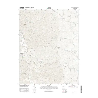
2016 Map of Cornishville
USGS Topo · Published 2016About this map
Cornishville and Bohon serve as central points in this landscape of winding watercourses and rural settlements. The terrain is defined by the Chaplin River and the Salt River, which frame a network of smaller streams like Grapevine Cr and Thompson Creek. This 2016 survey documents a deeply rooted community structure, where small settlements are often centered around their local houses of worship and burial grounds. Genealogists and local historians will find significant detail in the placement of sites such as Mayo Church, Hopewell Church, and the Mount Pleasant Cem. The distribution of these features across the hills of Mercer County reveals a settlement pattern that follows the ridges and valleys, with roads like Jackson Pike and Central Pike connecting the dispersed homesteads and rural crossroads.
Find a feature on this map
62 named features on this map. Tap any name to fly to it.
Don’t see what you’re looking for? This feature index may not catch every label — zoom into the map to look around manually.
Map Details
Editions of this 2016 Cornishville Map
This is the sole edition of this map. No revisions or reprints were ever made.
Other maps of this area

1905 · Harrodsburg
USGS Topo · 1:125,000

1952 · Perryville
USGS Topo · 1:24,000

1952 · Danville
USGS Topo · 1:24,000

1952 · Harrodsburg
USGS Topo · 1:24,000

1952 · Cornishville
USGS Topo · 1:24,000

1952 · Ashbrook
USGS Topo · 1:24,000

1952 · Salvisa
USGS Topo · 1:24,000

1952 · Mc Brayer
USGS Topo · 1:24,000

1953 · Mackville
USGS Topo · 1:24,000

1953 · Cardwell
USGS Topo · 1:24,000