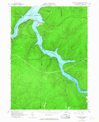
1966 Map of Cornplanter Bridge
USGS Topo · Published 1968About this map
Allegheny Reservoir dominates this 1960s landscape, having fundamentally reshaped the confluence of the Allegheny River and Kinzua Creek. The map documents a significant era of transition within the Allegheny National Forest, where traditional resource extraction industries, indicated by numerous Oil Wells and Gas Wells, coexist with an expanding recreational infrastructure. The namesake Cornplanter Bridge spans the newly flooded valley, connecting the heights near the Picnic Area and Kinzua Beach.
Find a feature on this map
60 named features on this map. Tap any name to fly to it.
Don’t see what you’re looking for? This feature index may not catch every label — zoom into the map to look around manually.
Map Details
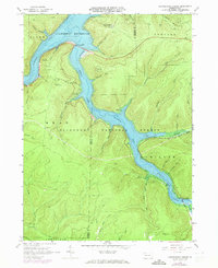
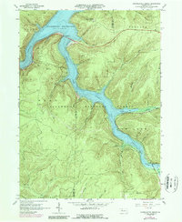
Editions of this 1966 Cornplanter Bridge Map
3 editions found
Other maps of this area

1906 · Warren
USGS Topo · 1:62,500

1907 · Warren
USGS Topo · 1:62,500

1908 · Warren
USGS Topo · 1:62,500

1934 · Kane
USGS Topo · 1:48,000

1935 · Sheffield
USGS Topo · 1:48,000

1936 · Kinzua
USGS Topo · 1:48,000

1939 · Kane
USGS Topo · 1:62,500

1941 · Sheffield
USGS Topo · 1:62,500

1941 · Kinzua
USGS Topo · 1:62,500
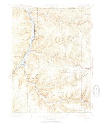
1949 · Kinzua
USGS Topo · 1:62,500
Featured Places
- Sheffield Township, PA
- Glade Township, PA
- Mead Township, PA
- Hamilton Township, PA
- Elijah, Hamilton Township