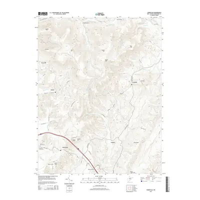
2014 Map of Cornstalk
USGS Topo · Published 2014About this map
Clintonville and the winding corridor of Us-60 anchor this Greenbrier County landscape, where the high ridges of the Allegheny Plateau are incised by a complex network of runs and creeks. The settlement pattern is defined by narrow valley bottoms and gaps, with small communities like Hughart and Cornstalk situated along early transit routes such as the Shoestring Trl. Local genealogy and land use history are etched into the terrain through family-named features like Russell Haynes Spring and Mullins Hollow, alongside resting places such as Wallace Memorial Cem and the evocatively named At the End of the Trail Cem. Significant elevations including Buffalo Mtn and Cross Mtn dominate the topography, while the northern reaches transitions toward LaFayette Bottom near Little Clear Creek.
Find a feature on this map
73 named features on this map. Tap any name to fly to it.
Don’t see what you’re looking for? This feature index may not catch every label — zoom into the map to look around manually.
Map Details
Editions of this 2014 Cornstalk Map
This is the sole edition of this map. No revisions or reprints were ever made.
Other maps of this area

1887 · Hinton
USGS Topo · 1:125,000

1887 · Lewisburg
USGS Topo · 1:125,000

1889 · Nicholas
USGS Topo · 1:125,000

1891 · Lewisburg
USGS Topo · 1:125,000

1891 · Nicholas
USGS Topo · 1:125,000

1891 · Huntersville
USGS Topo · 1:125,000

1892 · Hinton
USGS Topo · 1:125,000

1894 · Huntersville
USGS Topo · 1:125,000

1901 · Nicholas
USGS Topo · 1:125,000

1918 · Richwood
USGS Topo · 1:62,500