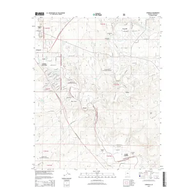
2014 Map of Cornville
USGS Topo · Published 2014About this map
The Verde River and its essential irrigation network define this landscape in the Verde Valley, where agriculture and early industry shaped the local geography. Distinctive human-made water systems like the Cottonwood Ditch, Cornville Ditch, and Ok Ditch follow the natural contours of the land, supporting settlements from Smelter City and Bridgeport in the northwest to the edge of Camp Verde in the south. The map illustrates a complex transition from high-density development in Verde Village to the more dispersed rural character of Cornville and the canyon-rimmed valley near Jordan.
Find a feature on this map
90 named features on this map. Tap any name to fly to it.
Don’t see what you’re looking for? This feature index may not catch every label — zoom into the map to look around manually.
Map Details
Editions of this 2014 Cornville Map
This is the sole edition of this map. No revisions or reprints were ever made.
Other maps of this area

1887 · Verde
USGS Topo · 1:250,000

1887 · Prescott
USGS Topo · 1:250,000

1892 · Verde
USGS Topo · 1:250,000

1892 · Prescott
USGS Topo · 1:250,000

1905 · Jerome
USGS Topo · 1:125,000

1923 · Camp Verde
USGS Topo · 1:125,000

1932 · Camp Verde
USGS Topo · 1:125,000

1936 · Camp Verde
USGS Topo · 1:125,000

1944 · Clarkdale
USGS Topo · 1:48,000

1944 · Mingus Mountain
USGS Topo · 1:62,500