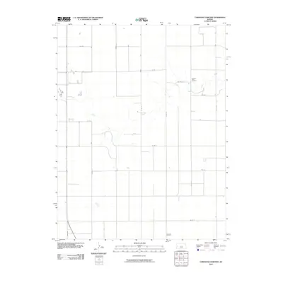
2010 Map of Coronado Cemetery
USGS Topo · Published 2010About this map
Ladder Creek meanders through this agricultural landscape in Wichita County, providing a stark topographical contrast to the surrounding section lines and rural road network. The map centers on a high plains environment defined by long, straight thoroughfares such as Indian Rd and Wichita St, which carve the prairie into a precise grid of fields and homesteads. Local history is anchored by the presence of two distinct burial grounds: Pleasant Valley Cemetery in the northeastern reaches and Coronado Cemetery near the southern edge. These sites, along with a network of designated county routes like Co Rd G and Co Rd H, trace the enduring settlement patterns of Leoti Township in the early twenty-first century.
Find a feature on this map
19 named features on this map. Tap any name to fly to it.
Don’t see what you’re looking for? This feature index may not catch every label — zoom into the map to look around manually.
Map Details
Editions of this 2010 Coronado Cemetery Map
This is the sole edition of this map. No revisions or reprints were ever made.
Other maps of this area

1939 · Pence
USGS Topo · 1:62,500

1941 · Modoc
USGS Topo · 1:62,500

1941 · Pence
USGS Topo · 1:62,500

1951 · Modoc
USGS Topo · 1:62,500

1955 · Scott City
USGS Topo · 1:250,000

1958 · Scott City
USGS Topo · 1:250,000

1968 · Russell Springs 3 SW
USGS Topo · 1:24,000

1968 · Russell Springs 3 NW
USGS Topo · 1:24,000

1968 · Russell Springs 3 SE
USGS Topo · 1:24,000

1968 · Russell Springs 3 NE
USGS Topo · 1:24,000