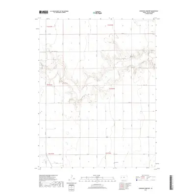
2018 Map of Coronado Cemetery
USGS Topo · Published 2018About this map
Coronado Cem and Pleasant Valley Cem anchor this 2018 survey of western Kansas, reflecting the quiet settlement patterns of Leoti Township. The landscape is defined by the high plains of Wichita County, where a structured grid of county roads, such as Co Rd G and Co Rd N, facilitates movement across the agricultural expanse. The township and range boundaries, including t17s r36w, demarcate the large-scale land divisions characteristic of the region. Deeply etched drainage patterns cut through the terrain, contrasting with the straight lines of thoroughfares like Indian Rd and N 4th St. This map provides genealogists and local historians a contemporary look at these rural landmarks within their broader geographic context.
Find a feature on this map
27 named features on this map. Tap any name to fly to it.
Don’t see what you’re looking for? This feature index may not catch every label — zoom into the map to look around manually.
Map Details
Editions of this 2018 Coronado Cemetery Map
This is the sole edition of this map. No revisions or reprints were ever made.
Other maps of this area

1939 · Pence
USGS Topo · 1:62,500

1941 · Modoc
USGS Topo · 1:62,500

1941 · Pence
USGS Topo · 1:62,500

1951 · Modoc
USGS Topo · 1:62,500

1955 · Scott City
USGS Topo · 1:250,000

1958 · Scott City
USGS Topo · 1:250,000

1968 · Russell Springs 3 SW
USGS Topo · 1:24,000

1968 · Russell Springs 3 NW
USGS Topo · 1:24,000

1968 · Russell Springs 3 SE
USGS Topo · 1:24,000

1968 · Russell Springs 3 NE
USGS Topo · 1:24,000