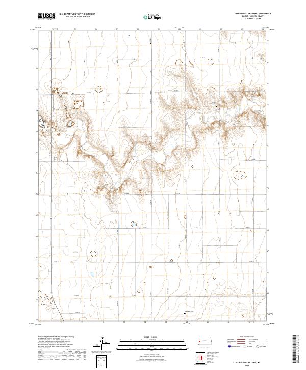
2022 Map of Coronado Cemetery
USGS Topo · Published 2022About this map
Wichita County’s High Plains landscape is defined by a rigorous section-line road network and isolated markers of early prairie settlement. This 2022 survey of the Coronado Cemetery quadrangle reveals an area primarily dedicated to agriculture, where the geometry of Co Rd G and Co Rd N crisscrosses the terrain at precise one-mile intervals. These roads, including the north-south artery of N 4th St, provide the only formal navigation across a land surface sculpted by subtle drainage patterns and seasonal wetlands. For those tracing the human geography of the region, the map preserves the locations of two quiet landmarks: Pleasant Valley Cem in the northeastern reaches and Coronado Cem further south. These sites remain the primary cultural anchors in a landscape that otherwise emphasizes the scale of modern industrial farming and the endurance of the township and range system.
Find a feature on this map
25 named features on this map. Tap any name to fly to it.
Don’t see what you’re looking for? This feature index may not catch every label — zoom into the map to look around manually.
Map Details
Editions of this 2022 Coronado Cemetery Map
This is the sole edition of this map. No revisions or reprints were ever made.
Other maps of this area

1939 · Pence
USGS Topo · 1:62,500

1941 · Modoc
USGS Topo · 1:62,500

1941 · Pence
USGS Topo · 1:62,500

1951 · Modoc
USGS Topo · 1:62,500

1955 · Scott City
USGS Topo · 1:250,000

1958 · Scott City
USGS Topo · 1:250,000

1968 · Russell Springs 3 SW
USGS Topo · 1:24,000

1968 · Russell Springs 3 NW
USGS Topo · 1:24,000

1968 · Russell Springs 3 SE
USGS Topo · 1:24,000

1968 · Russell Springs 3 NE
USGS Topo · 1:24,000