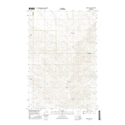
2017 Map of Corral Butte
USGS Topo · Published 2017About this map
Corral Butte stands as a prominent landmark in this segment of the eastern Montana landscape, where the high plains of Prairie and Custer counties meet. This 2017 survey reveals a complex drainage system defined by seasonal waterways such as Mack Cr, Miles Cr, and Williams Cr that etch into the local topography. Further south, the terrain rises toward Big Peak, overlooking a network of named coulees and creeks including Corral Cr and Schlosser Cr. The map illustrates the expansive ranching country character of the region, where land use is dictated by the availability of water and the undulating relief of the badlands. Sections of the Custer and Prairie county line are clearly delineated, providing a modern record of administrative boundaries and physical geography in this sparsely settled portion of the state.
Find a feature on this map
22 named features on this map. Tap any name to fly to it.
Don’t see what you’re looking for? This feature index may not catch every label — zoom into the map to look around manually.
Map Details
Editions of this 2017 Corral Butte Map
This is the sole edition of this map. No revisions or reprints were ever made.
Other maps of this area

1953 · Miles City
USGS Topo · 1:250,000

1957 · Miles City
USGS Topo · 1:250,000

1958 · Miles City
USGS Topo · 1:250,000

1969 · Corral Butte
USGS Topo · 1:24,000

1969 · Spring Draw
USGS Topo · 1:24,000

1969 · Zero NE
USGS Topo · 1:24,000

1969 · Zero
USGS Topo · 1:24,000

1969 · Kinsey NE
USGS Topo · 1:24,000

1969 · The Knob
USGS Topo · 1:24,000

1969 · Buck Mountain
USGS Topo · 1:24,000