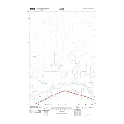
2011 Map of Corral Canyon
USGS Topo · Published 2011About this map
The Yakima River defines the southern reach of this landscape, where the irrigation infrastructure of the Kiona Canal supports local agriculture near the settlements of Chandler and Chaffee. This area is characterized by a mix of ranching operations and water management, with family names preserved at Hodges Ranch and McWhorter Ranch, the latter featuring the private McWhorter Ranch Airport.
Find a feature on this map
48 named features on this map. Tap any name to fly to it.
Don’t see what you’re looking for? This feature index may not catch every label — zoom into the map to look around manually.
Map Details
Editions of this 2011 Corral Canyon Map
This is the sole edition of this map. No revisions or reprints were ever made.
Other maps of this area

1915 · Prosser
USGS Topo · 1:125,000

1917 · Pasco
USGS Topo · 1:125,000

1917 · Prosser
USGS Topo · 1:125,000

1951 · Richland
USGS Topo · 1:62,500

1951 · Corral Canyon
USGS Topo · 1:62,500

1953 · Walla Walla
USGS Topo · 1:250,000

1958 · Walla Walla
USGS Topo · 1:250,000

1965 · Whitstran
USGS Topo · 1:62,500
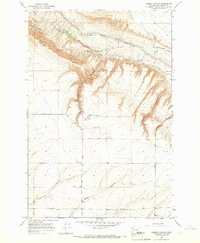
1965 · Weber Canyon
USGS Topo · 1:24,000
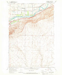
1965 · Whitstran
USGS Topo · 1:24,000