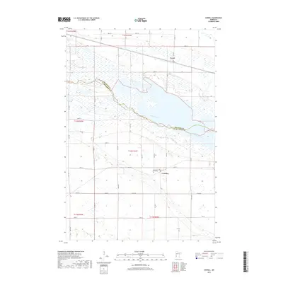
2019 Map of Correll
USGS Topo · Published 2019About this map
The Minnesota River carves a broad valley through the center of this landscape, marking the boundary between Big Stone and Lac Qui Parle counties. This 2019 survey shows the small settlements of Correll and Louisburg situated on opposite sides of the river plain. The area's agricultural character is defined by a dense grid of township roads and county highways, including Co Hwy 34 and Co Hwy 25. Cultural and genealogical points of interest include the Louisburg Lutheran Cem located just south of the townsite. The topography reveals the intricate wetland patterns and drainage systems characteristic of this river valley region, with numerous small lakes and marshy areas bordering the main river channel.
Find a feature on this map
42 named features on this map. Tap any name to fly to it.
Don’t see what you’re looking for? This feature index may not catch every label — zoom into the map to look around manually.
Map Details
Editions of this 2019 Correll Map
This is the sole edition of this map. No revisions or reprints were ever made.
Other maps of this area

1953 · Ortonville
USGS Topo · 1:62,500

1953 · Bellingham
USGS Topo · 1:62,500

1953 · Milbank
USGS Topo · 1:250,000

1958 · Milbank
USGS Topo · 1:250,000

1958 · Cerro Gordo
USGS Topo · 1:24,000

1958 · Madison
USGS Topo · 1:24,000

1958 · Correll
USGS Topo · 1:24,000

1958 · Appleton
USGS Topo · 1:24,000

1968 · Lake Oliver
USGS Topo · 1:24,000

1968 · Artichoke Lake
USGS Topo · 1:24,000