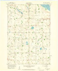
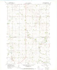
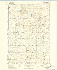
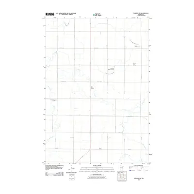
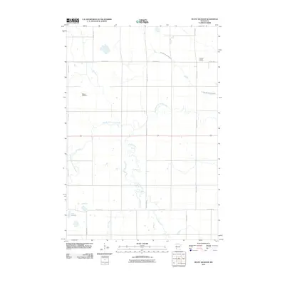
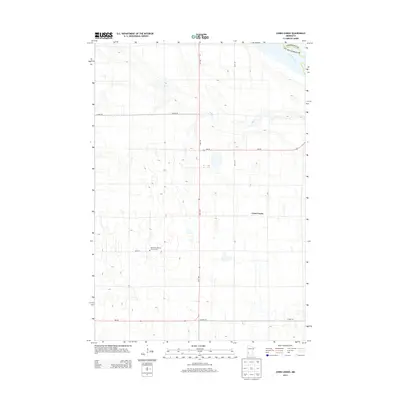
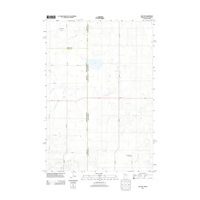
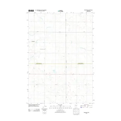
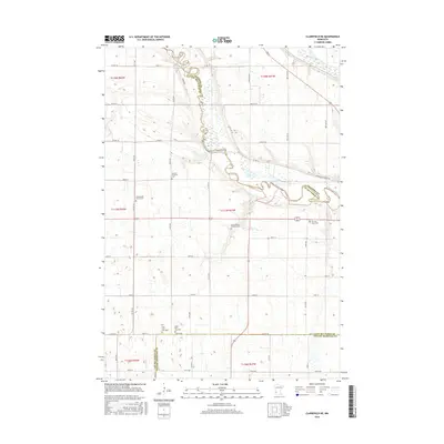
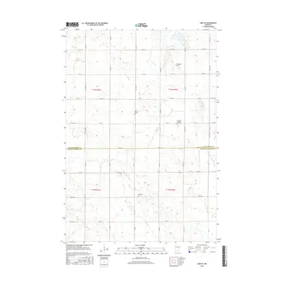
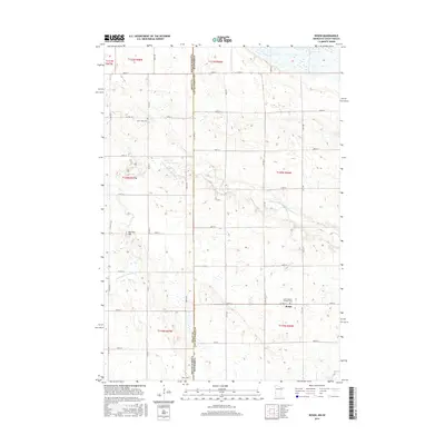
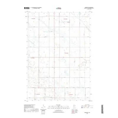
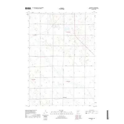
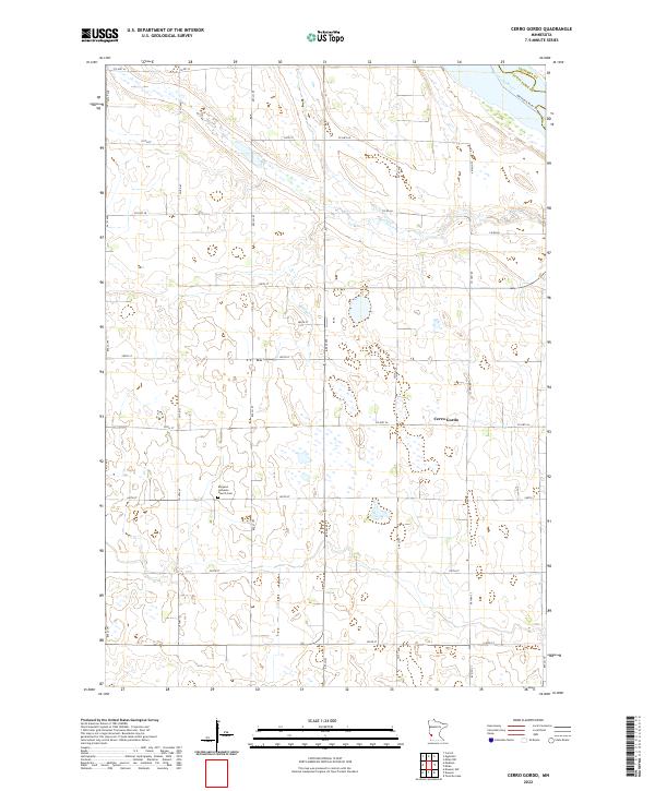
1958 Map of Cerro Gordo
USGS Topo · Published 1959About this map
The Lac Qui Parle River flows through the northeastern corner of this western Minnesota landscape, defining the border between Lac Qui Parle and Chippewa counties. At the time of this late 1950s survey, the area was characterized by a dense network of local education and religious centers, though many were already marked as part of a changing rural structure. The settlement of Cerro Gordo sits centrally, surrounded by numerous district schools including School No 871 and School No 841.
Find a feature on this map
23 named features on this map. Tap any name to fly to it.
Don’t see what you’re looking for? This feature index may not catch every label — zoom into the map to look around manually.
Map Details
Editions of this 1958 Cerro Gordo Map
This is the sole edition of this map. No revisions or reprints were ever made.
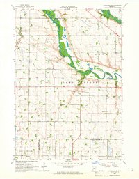
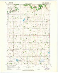
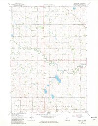
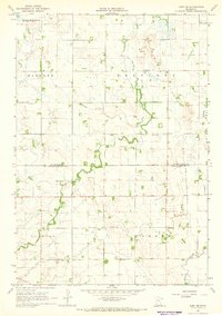
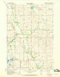
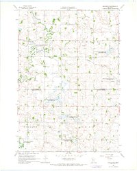
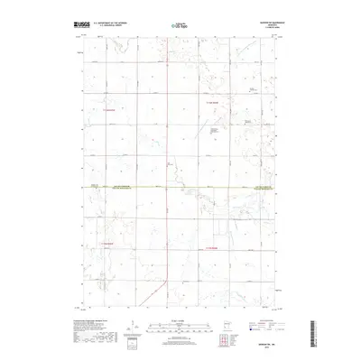
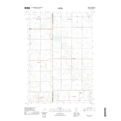
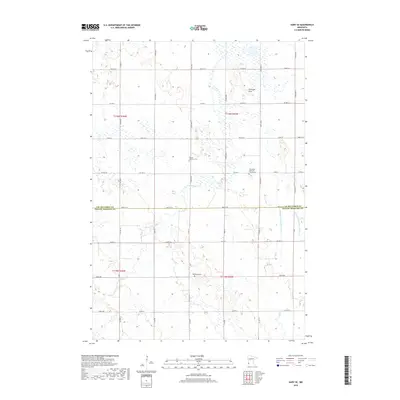
Historical Maps of Cerro Gordo Through Time
65 maps found
1958 Cerro Gordo
Lac qui Parle County, MN
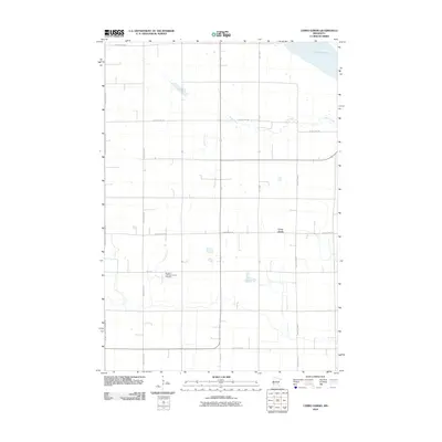
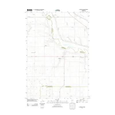
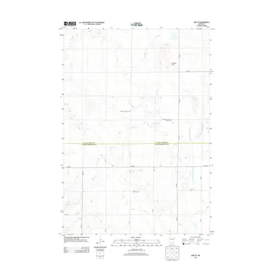
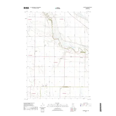
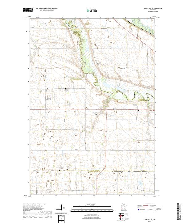
1965 Clarkfield NE
Lac qui Parle County, MN
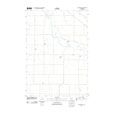
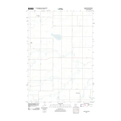
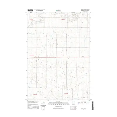
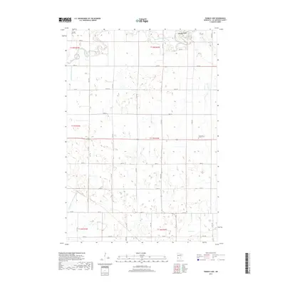
1965 Tenmile Lake
Lac qui Parle County, MN
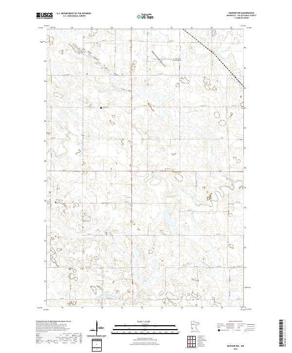
1967 Dawson NW
Lac qui Parle County, MN
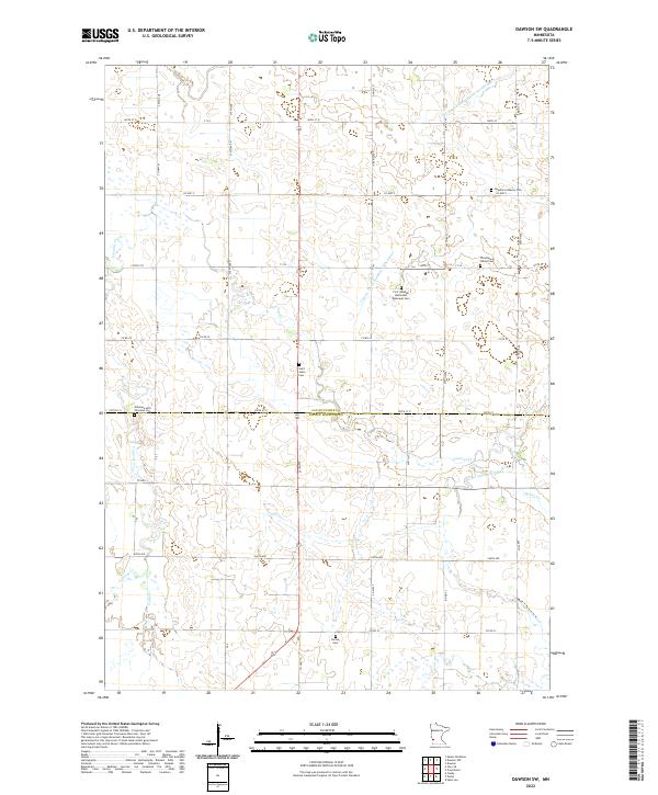
1967 Dawson SW
Lac qui Parle County, MN
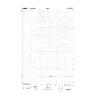
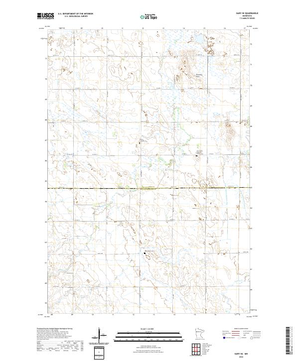
1967 Gary SE
Lac qui Parle County, MN
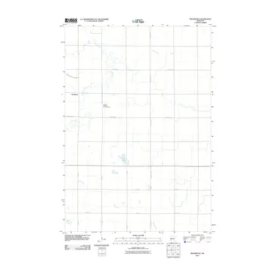
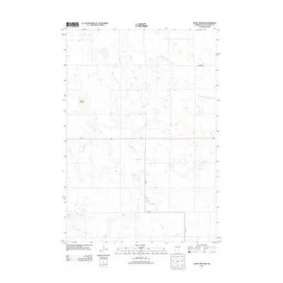
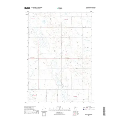
1967 Mount Wickham
Lac qui Parle County, MN
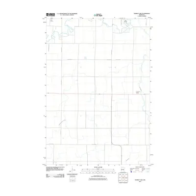
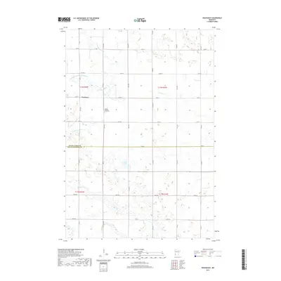
1967 Providence
Lac qui Parle County, MN
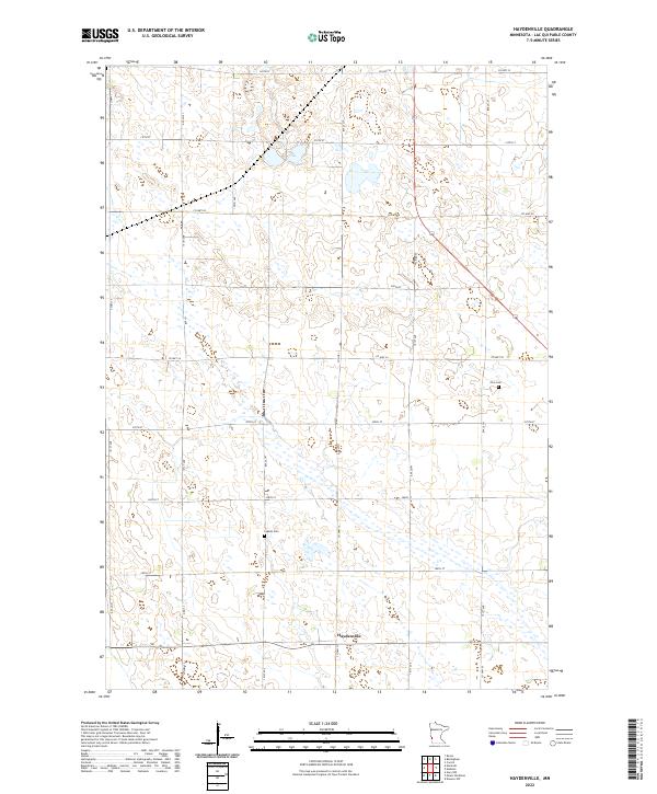
1971 Haydenville
Lac qui Parle County, MN

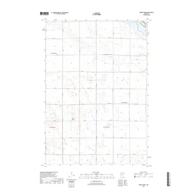
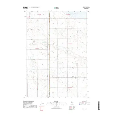
1971 Rosen
Lac qui Parle County, MN
2010 Cerro Gordo
Lac qui Parle County, MN
2010 Clarkfield NE
Lac qui Parle County, MN
2010 Dawson NW
Lac qui Parle County, MN
2010 Dawson SW
Lac qui Parle County, MN
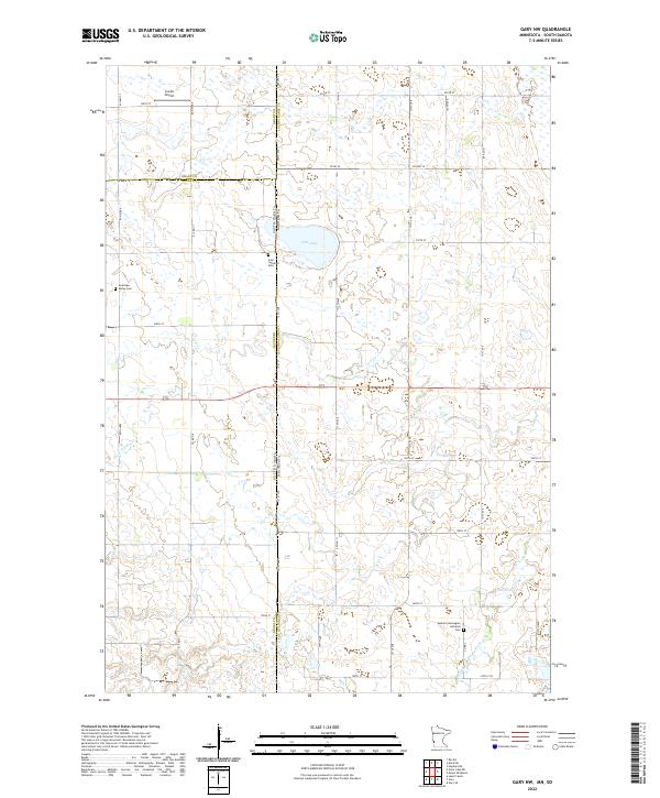
2010 Gary NW
Lac qui Parle County, MN
2010 Gary SE
Lac qui Parle County, MN
2010 Haydenville
Lac qui Parle County, MN
2010 Mount Wickham
Lac qui Parle County, MN
2010 Providence
Lac qui Parle County, MN
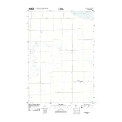
2010 Rosen
Lac qui Parle County, MN
2010 Tenmile Lake
Lac qui Parle County, MN
2013 Cerro Gordo
Lac qui Parle County, MN
2013 Clarkfield NE
Lac qui Parle County, MN
2013 Dawson NW
Lac qui Parle County, MN
2013 Dawson SW
Lac qui Parle County, MN
2013 Gary NW
Lac qui Parle County, MN
2013 Gary SE
Lac qui Parle County, MN
2013 Haydenville
Lac qui Parle County, MN
2013 Mount Wickham
Lac qui Parle County, MN
2013 Providence
Lac qui Parle County, MN
2013 Rosen
Lac qui Parle County, MN
2013 Tenmile Lake
Lac qui Parle County, MN
2016 Cerro Gordo
Lac qui Parle County, MN
2016 Clarkfield NE
Lac qui Parle County, MN
2016 Dawson NW
Lac qui Parle County, MN
2016 Dawson SW
Lac qui Parle County, MN
2016 Gary NW
Lac qui Parle County, MN
2016 Gary SE
Lac qui Parle County, MN
2016 Haydenville
Lac qui Parle County, MN
2016 Mount Wickham
Lac qui Parle County, MN
2016 Providence
Lac qui Parle County, MN
2016 Rosen
Lac qui Parle County, MN
2016 Tenmile Lake
Lac qui Parle County, MN
2019 Cerro Gordo
Lac qui Parle County, MN
2019 Clarkfield NE
Lac qui Parle County, MN
2019 Dawson NW
Lac qui Parle County, MN
2019 Dawson SW
Lac qui Parle County, MN
2019 Gary NW
Lac qui Parle County, MN
2019 Gary SE
Lac qui Parle County, MN
2019 Haydenville
Lac qui Parle County, MN
2019 Mount Wickham
Lac qui Parle County, MN
2019 Providence
Lac qui Parle County, MN
2019 Rosen
Lac qui Parle County, MN
2019 Tenmile Lake
Lac qui Parle County, MN
2022 Cerro Gordo
Lac qui Parle County, MN
2022 Clarkfield NE
Lac qui Parle County, MN
2022 Dawson NW
Lac qui Parle County, MN
2022 Dawson SW
Lac qui Parle County, MN
2022 Gary NW
Lac qui Parle County, MN
2022 Gary SE
Lac qui Parle County, MN
2022 Haydenville
Lac qui Parle County, MN
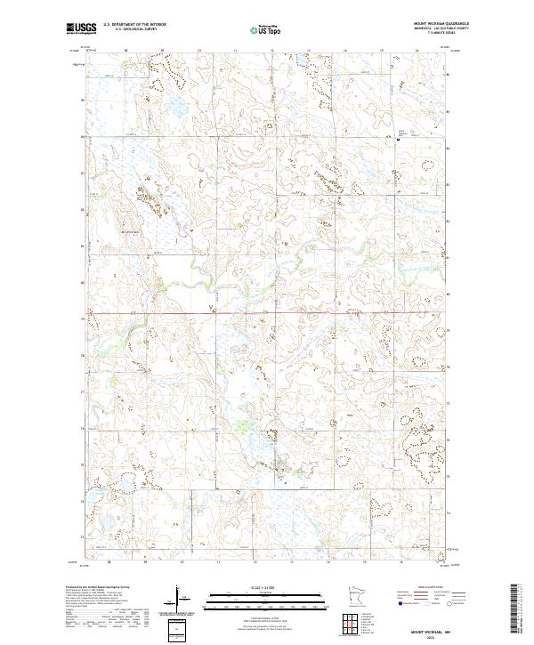
2022 Mount Wickham
Lac qui Parle County, MN
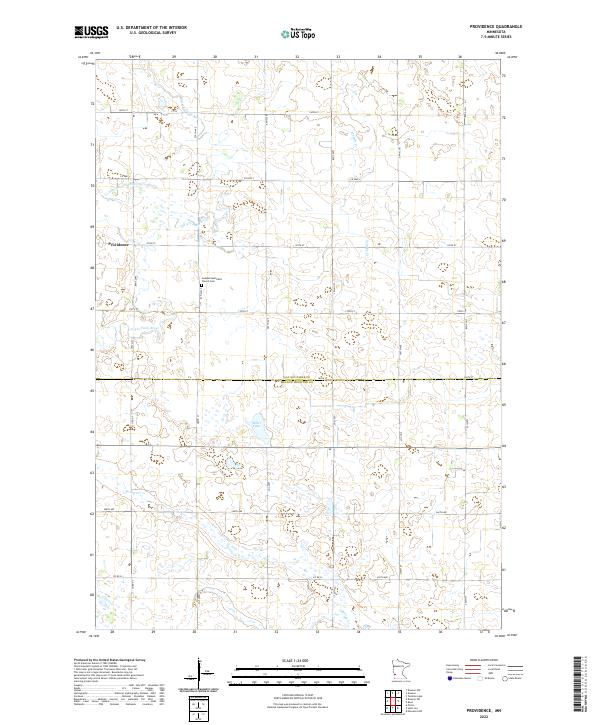
2022 Providence
Lac qui Parle County, MN
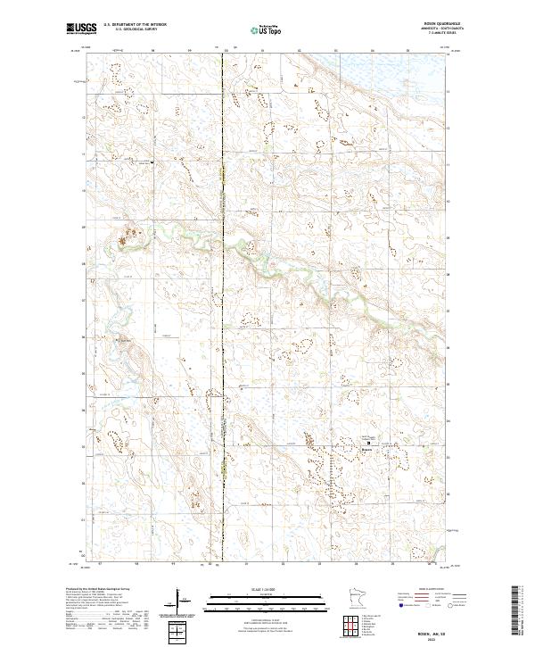
2022 Rosen
Lac qui Parle County, MN
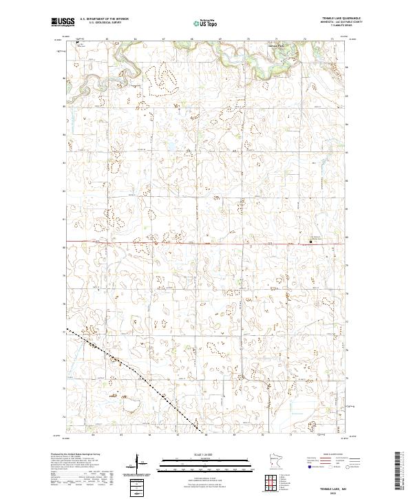
2022 Tenmile Lake
Lac qui Parle County, MN