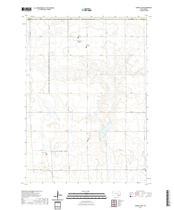
2021 Map of Corsica Lake
USGS Topo · Published 2021About this map
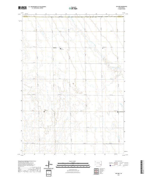
Blooming Valley anchors this agricultural landscape in Douglas County, characterized by a regular grid of section-line roads and scattered pioneer-era resting places. The terrain is defined by the winding course of Choteau Cr and the waters of Corsica Lake, which provide a natural contrast to the surrounding prairie. For genealogists and local historians, the sheet is exceptionally well-marked with family and community sites, including Saint John Cem, Blooming Valley Cem, Old Ebenezer Cem, Grandview Cem, and Saint Peters Cem. These sites, situated near the borders of Aurora and Davison Counties, reflect the deep-rooted settlement patterns and community centers established across the South Dakota plains. A network of rural routes such as Co HWY 560 and Co HWY 7 connect these isolated landmarks, tracing the modern paths through traditional homesteading country.
Find a feature on this map
33 named features on this map. Tap any name to fly to it.
Don’t see what you’re looking for? This feature index may not catch every label — zoom into the map to look around manually.
Map Details
Editions of this 2021 Corsica Lake Map
This is the sole edition of this map. No revisions or reprints were ever made.
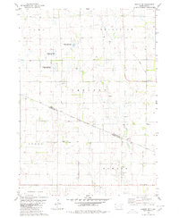
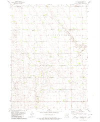
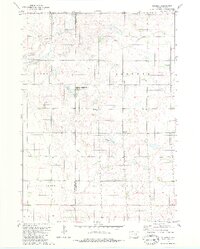
Historical Maps of Valley Township Through Time
8 maps found
Featured Locations
- Aurora Township, SD
- Baker Township, SD
- Valley Township, SD
- Walnut Grove Township, SD
- Grandview Township, SD