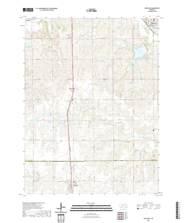
2021 Map of Cortland
USGS Topo · Published 2021About this map
Cortland and Princeton anchor this landscape along the Homestead Expy, a primary corridor through the rolling plains of Lancaster and Gage Counties. The area is defined by an intricate network of water management, with numerous reservoirs such as Salt Cr Reservoir U-36 and the Upper Big Nemaha Reservoir 15-A dotting the terrain. These man-made features surround the natural drainage of the Middle Br Big Nemaha River and Indian Cr, reflecting a landscape heavily modified for agricultural stability and flood control.
Find a feature on this map
68 named features on this map. Tap any name to fly to it.
Don’t see what you’re looking for? This feature index may not catch every label — zoom into the map to look around manually.
Map Details
Editions of this 2021 Cortland Map
This is the sole edition of this map. No revisions or reprints were ever made.
Other maps of this area

1897 · Lincoln
USGS Topo · 1:125,000

1955 · Lincoln
USGS Topo · 1:250,000

1957 · Lincoln
USGS Topo · 1:250,000

1957 · Clatonia
USGS Topo · 1:24,000

1958 · Lincoln
USGS Topo · 1:250,000

1964 · Cortland
USGS Topo · 1:24,000

1964 · Pickrell
USGS Topo · 1:24,000
1964 · Hallam
USGS Topo · 1:24,000

1964 · Denton
USGS Topo · 1:24,000

1964 · Roca
USGS Topo · 1:24,000