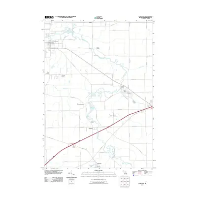
2011 Map of Corunna
USGS Topo · Published 2011About this map
The Shiawassee River meanders across this central Michigan landscape, serving as the primary geographic spine for the communities of Corunna, Vernon, and Bancroft. In this part of Shiawassee County, the river's winding path is punctuated by small settlements like Shiawasseetown and Newburg, where local history is recorded in several rural burial grounds including Hawkins Cemetery and Topping Cemetery. The terrain is characterized by the confluence of local waterways such as Porter Creek and Webb Creek, while the Shiawassee County Fairgrounds near Corunna stands as a significant cultural landmark for the region.
Find a feature on this map
62 named features on this map. Tap any name to fly to it.
Don’t see what you’re looking for? This feature index may not catch every label — zoom into the map to look around manually.
Map Details
Editions of this 2011 Corunna Map
This is the sole edition of this map. No revisions or reprints were ever made.
Other maps of this area

1917 · Chesaning
USGS Topo · 1:62,500

1919 · Burt
USGS Topo · 1:62,500

1921 · Burt
USGS Topo · 1:62,500

1922 · Durand
USGS Topo · 1:62,500

1926 · Corunna
USGS Topo · 1:62,500

1929 · Corunna
USGS Topo · 1:62,500

1943 · Burt
USGS Topo · 1:62,500

1943 · Chesaning
USGS Topo · 1:62,500

1943 · Durand
USGS Topo · 1:62,500

1944 · Corunna
USGS Topo · 1:62,500