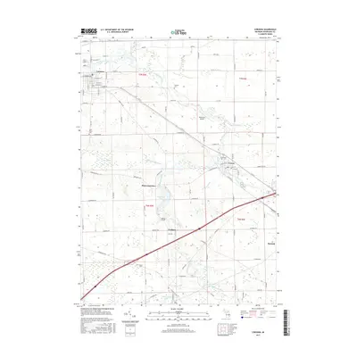
2017 Map of Corunna
USGS Topo · Published 2017About this map
The Shiawassee River anchors this survey, winding through the city of Corunna and passing south toward Shiawasseetown and Newburg. The landscape is a complex network of agricultural drainage systems, such as Caledonia Drain, Maple Swamp Drain, and Hathaway Drain, which supported the region's farming development. In the eastern portion of the sheet, the village of Vernon sits at the junction of several routes, including E M-71 and Railroad St.
Find a feature on this map
67 named features on this map. Tap any name to fly to it.
Don’t see what you’re looking for? This feature index may not catch every label — zoom into the map to look around manually.
Map Details
Editions of this 2017 Corunna Map
This is the sole edition of this map. No revisions or reprints were ever made.
Other maps of this area

1917 · Chesaning
USGS Topo · 1:62,500

1919 · Burt
USGS Topo · 1:62,500

1921 · Burt
USGS Topo · 1:62,500

1922 · Durand
USGS Topo · 1:62,500

1926 · Corunna
USGS Topo · 1:62,500

1929 · Corunna
USGS Topo · 1:62,500

1943 · Burt
USGS Topo · 1:62,500

1943 · Chesaning
USGS Topo · 1:62,500

1943 · Durand
USGS Topo · 1:62,500

1944 · Corunna
USGS Topo · 1:62,500