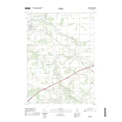
2023 Map of Corunna
USGS Topo · Published 2023About this map
The Shiawassee County Courthouse stands at the heart of Corunna, marking the administrative center of a landscape defined by the winding course of the Shiawassee River. This 2023 survey illustrates the dense network of drainage and transport connecting the county seat with surrounding agricultural settlements like Vernon, Bancroft, and the smaller community of Shiawasseetown. The industrial and transit heritage of the area is visible through the Great Lakes Central RR corridors and specialized landmarks like the Millstream Airpark.
Find a feature on this map
88 named features on this map. Tap any name to fly to it.
Don’t see what you’re looking for? This feature index may not catch every label — zoom into the map to look around manually.
Map Details
Editions of this 2023 Corunna Map
This is the sole edition of this map. No revisions or reprints were ever made.
Other maps of this area
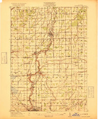
1917 · Chesaning
USGS Topo · 1:62,500
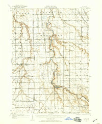
1919 · Burt
USGS Topo · 1:62,500
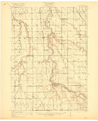
1921 · Burt
USGS Topo · 1:62,500
1922 · Durand
USGS Topo · 1:62,500
1926 · Corunna
USGS Topo · 1:62,500
1929 · Corunna
USGS Topo · 1:62,500
1943 · Burt
USGS Topo · 1:62,500
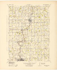
1943 · Chesaning
USGS Topo · 1:62,500
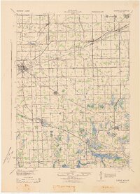
1943 · Durand
USGS Topo · 1:62,500
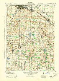
1944 · Corunna
USGS Topo · 1:62,500