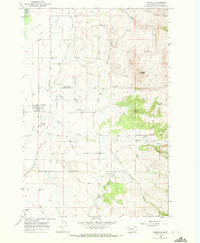
1967 Map of Corvallis
USGS Topo · Published 1972About this map
Agricultural development and water management define this portion of the Bitterroot Valley during the mid-1960s. The settlement of Corvallis serves as a local hub, supported by the Burlington Northern railroad line which includes the Corvallis Siding. The landscape is intricately carved by an extensive network of man-made waterways, including the Bitterroot Irrigation District Canal, Upper Supply Canal, and numerous lateral ditches like the Hedge Ditch and Republican Ditch. This reliance on irrigation allows for the intensive farming seen at the Western Montana Experiment Station. To the east, the terrain rises sharply toward Chaffin Butte, where the drainage of Coalpit Creek and Willow Creek transitions from mountain runoff into the valley's complex canal system. Significant local landmarks such as the Corvallis Cem and Hamilton Airport provide anchor points for genealogical and historical research.
Find a feature on this map
36 named features on this map. Tap any name to fly to it.
Don’t see what you’re looking for? This feature index may not catch every label — zoom into the map to look around manually.
Map Details
Editions of this 1967 Corvallis Map
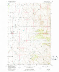
2 editions found
Other maps of this area

1901 · Hamilton
USGS Topo · 1:125,000

1909 · Sapphire
USGS Topo · 1:125,000

1947 · Butte
USGS Topo · 1:250,000

1956 · Hamilton
USGS Topo · 1:250,000

1958 · Butte
USGS Topo · 1:250,000

1959 · Hamilton
USGS Topo · 1:250,000

1960 · Butte
USGS Topo · 1:250,000

1960 · Hamilton
USGS Topo · 1:250,000

1962 · Butte
USGS Topo · 1:250,000

1964 · Hamilton
USGS Topo · 1:250,000