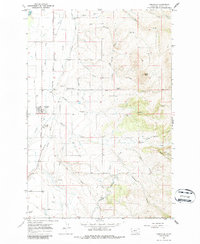
1967 Map of Corvallis
USGS Topo · Published 1986About this map
Agricultural development and water management define the Bitterroot Valley landscape near Corvallis in the late 1960s. The region is crisscrossed by a sophisticated network of canals and irrigation systems, including the Dry Bitterroot Irrigation District Canal, Republican Ditch, and Hedge Ditch, which redirect water from the Bitterroot River and its tributaries to support local farming. The Western Montana Experiment Station serves as a central hub for this rural economy, situated near the Burlington Northern railroad line.
Find a feature on this map
29 named features on this map. Tap any name to fly to it.
Don’t see what you’re looking for? This feature index may not catch every label — zoom into the map to look around manually.
Map Details
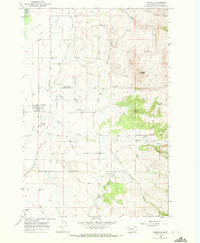
Editions of this 1967 Corvallis Map
2 editions found
Other maps of this area

1901 · Hamilton
USGS Topo · 1:125,000

1909 · Sapphire
USGS Topo · 1:125,000

1947 · Butte
USGS Topo · 1:250,000

1956 · Hamilton
USGS Topo · 1:250,000

1958 · Butte
USGS Topo · 1:250,000

1959 · Hamilton
USGS Topo · 1:250,000

1960 · Butte
USGS Topo · 1:250,000

1960 · Hamilton
USGS Topo · 1:250,000

1962 · Butte
USGS Topo · 1:250,000

1964 · Hamilton
USGS Topo · 1:250,000