2023 Map of Coshocton
USGS Topo · Published 2023About this map
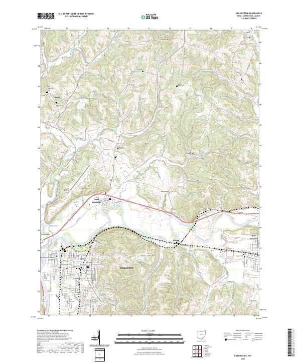
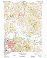
The Muskingum River forms at the confluence of the Walhonding River and Tuscarawas River in this detailed topographic study of the Coshocton area. The city layout is anchored by the Coshocton County Courthouse, with neighborhoods extending south toward South Lawn Cem and north toward the historical canal infrastructure of the Mudport Basin, Middle Basin, and Roscoe Basin. This hydrologic network was central to the region's development, as evidenced by the proximity of Canal Lewisville.
Find a feature on this map
117 named features on this map. Tap any name to fly to it.
Don’t see what you’re looking for? This feature index may not catch every label — zoom into the map to look around manually.
Map Details
Editions of this 2023 Coshocton Map
This is the sole edition of this map. No revisions or reprints were ever made.
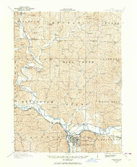
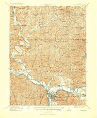
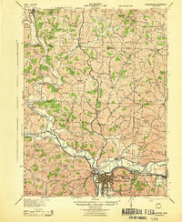
Historical Maps of Jackson Township Through Time
6 maps found
Featured Locations
- Tuscarawas Township, OH
- Coshocton, OH
- White Eyes Township, OH
- Keene, Keene Township
- West Lafayette, Lafayette Township