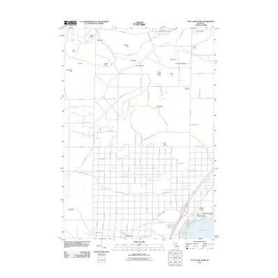
2011 Map of Cote Dame Marie
USGS Topo · Published 2011About this map
Cote Dame Marie rises as a prominent landmark in this northern Michigan landscape, characterized by a complex network of glacial hills and ridges such as Vosges Ridge, Taylor Hill, and the Three Sisters Range. The terrain is shaped by both conservation and military use, with a significant portion of the north dedicated to Camp Grayling and the south featuring the extensive recreational grounds of Higgins Lake. The area's settlement history is preserved at the Beaver Creek Cemetery and the living history exhibits of Wellington Farm Park.
Find a feature on this map
94 named features on this map. Tap any name to fly to it.
Don’t see what you’re looking for? This feature index may not catch every label — zoom into the map to look around manually.
Map Details
Editions of this 2011 Cote Dame Marie Map
This is the sole edition of this map. No revisions or reprints were ever made.
Other maps of this area

1949 · Black Creek
USGS Topo · 1:24,000

1949 · Fletcher
USGS Topo · 1:62,500

1949 · Grayling
USGS Topo · 1:62,500

1950 · Cote Dame Marie
USGS Topo · 1:24,000

1950 · Fletcher
USGS Topo · 1:24,000

1950 · Lake Margrethe
USGS Topo · 1:24,000

1950 · Grayling
USGS Topo · 1:24,000

1951 · Grayling
USGS Topo · 1:24,000

1951 · Pere Cheney
USGS Topo · 1:24,000

1954 · Traverse City
USGS Topo · 1:250,000
Featured Places
- Beaver Creek Township, MI
- Bear Lake Township, MI
- Garfield Township, MI
- Norwich Township, MI
- Grayling Charter Township, MI