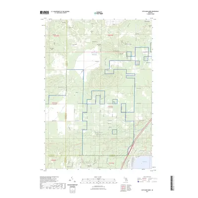
2023 Map of Cote Dame Marie
USGS Topo · Published 2023About this map
Cote Dame Marie and the expansive training grounds of MTC-H Camp Grayling define this northern Michigan landscape, where the borders of Crawford, Kalkaska, Missaukee, and Roscommon counties converge. The terrain is characterized by a dense concentration of named rises such as the Three Sisters Range, Vosges Ridge, and McCall Hill, suggesting a complex glacial topography that has historically influenced the layout of local roads and trails.
Find a feature on this map
97 named features on this map. Tap any name to fly to it.
Don’t see what you’re looking for? This feature index may not catch every label — zoom into the map to look around manually.
Map Details
Editions of this 2023 Cote Dame Marie Map
This is the sole edition of this map. No revisions or reprints were ever made.
Other maps of this area

1949 · Black Creek
USGS Topo · 1:24,000

1949 · Fletcher
USGS Topo · 1:62,500

1949 · Grayling
USGS Topo · 1:62,500

1950 · Cote Dame Marie
USGS Topo · 1:24,000

1950 · Fletcher
USGS Topo · 1:24,000

1950 · Lake Margrethe
USGS Topo · 1:24,000

1950 · Grayling
USGS Topo · 1:24,000

1951 · Grayling
USGS Topo · 1:24,000

1951 · Pere Cheney
USGS Topo · 1:24,000

1954 · Traverse City
USGS Topo · 1:250,000
Featured Places
- Lyon Township, MI
- Beaver Creek Township, MI
- Grayling Charter Township, MI
- Bear Lake Township, MI
- Garfield Township, MI