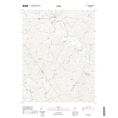
2019 Map of Cottageville
USGS Topo · Published 2019About this map
Cottageville and Evans anchor a landscape defined by deep-cut stream valleys and the winding Mill Creek Water Trail. The terrain is characterized by numerous family-named landmarks and historical community centers, including Angerona, Providence, and Gunville. A high density of rural burial grounds, such as Antioch Church Cem, Otterbein Cem, and Blaine Memorial Cem, suggests generations of established settlement across the ridges and hollows.
Find a feature on this map
153 named features on this map. Tap any name to fly to it.
Don’t see what you’re looking for? This feature index may not catch every label — zoom into the map to look around manually.
Map Details
Editions of this 2019 Cottageville Map
This is the sole edition of this map. No revisions or reprints were ever made.
Other maps of this area

1906 · Kenna
USGS Topo · 1:62,500

1906 · Winfield
USGS Topo · 1:62,500

1907 · Kenna
USGS Topo · 1:62,500

1907 · Ripley
USGS Topo · 1:62,500

1908 · Winfield
USGS Topo · 1:62,500

1908 · Ravenswood
USGS Topo · 1:62,500

1926 · Ravenswood
USGS Topo · 1:62,500

1926 · Ripley
USGS Topo · 1:62,500

1928 · Ravenswood
USGS Topo · 1:62,500

1928 · Ripley
USGS Topo · 1:62,500