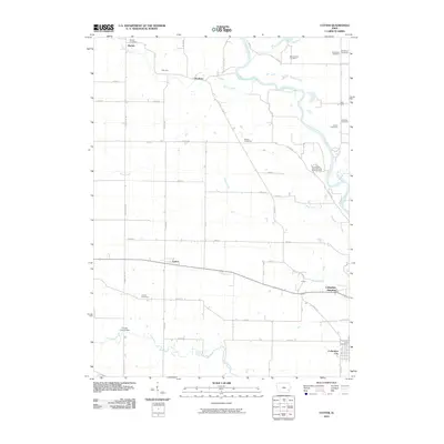
2010 Map of Cotter
USGS Topo · Published 2010About this map
Columbus Junction and Columbus City anchor the southeastern corner of this Louisa County landscape, where the confluence of several local waterways dictates the rural layout. The Iowa River winds along the eastern boundary, fed by tributaries including Goose Creek, Short Creek, and Honey Creek. The infrastructure of the era is defined by a rigid grid of county roads and section lines, interrupted by the path of the Columbus Junction Gas Storage Area and the diagonal transit between small hamlets like Cotter, Clifton, and Gladwin.
Find a feature on this map
49 named features on this map. Tap any name to fly to it.
Don’t see what you’re looking for? This feature index may not catch every label — zoom into the map to look around manually.
Map Details
Editions of this 2010 Cotter Map
This is the sole edition of this map. No revisions or reprints were ever made.
Other maps of this area

1958 · Davenport
USGS Topo · 1:250,000

1961 · Davenport
USGS Topo · 1:250,000

1962 · Davenport
USGS Topo · 1:250,000
1969 · Riverside
USGS Topo · 1:24,000
1969 · Lone Tree
USGS Topo · 1:24,000

1970 · Cotter
USGS Topo · 1:24,000
1970 · Columbus Junction
USGS Topo · 1:24,000
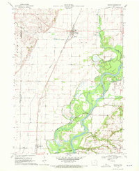
1970 · Nichols
USGS Topo · 1:24,000

1970 · Ainsworth
USGS Topo · 1:24,000
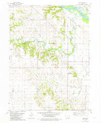
1981 · Cairo
USGS Topo · 1:24,000