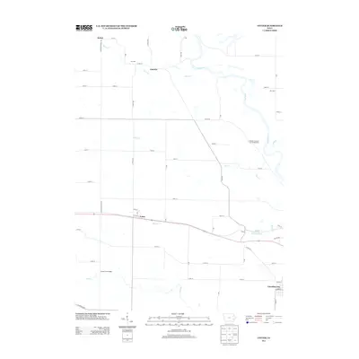
2013 Map of Cotter
USGS Topo · Published 2013About this map
Cotter and the nearby village of Clifton occupy a landscape defined by the drainage of Monkey Run as it approaches the Iowa River. This 2013 U.S. Geological Survey representation of Louisa County highlights a rural network of county roads and historic place names that persist in the regional memory. Significant industrial infrastructure is present at the Columbus Junction Gas Storage Area, while the southern reaches of the map show the edge of Columbus City.
Find a feature on this map
56 named features on this map. Tap any name to fly to it.
Don’t see what you’re looking for? This feature index may not catch every label — zoom into the map to look around manually.
Map Details
Editions of this 2013 Cotter Map
This is the sole edition of this map. No revisions or reprints were ever made.
Other maps of this area

1958 · Davenport
USGS Topo · 1:250,000

1961 · Davenport
USGS Topo · 1:250,000

1962 · Davenport
USGS Topo · 1:250,000
1969 · Riverside
USGS Topo · 1:24,000
1969 · Lone Tree
USGS Topo · 1:24,000

1970 · Cotter
USGS Topo · 1:24,000
1970 · Columbus Junction
USGS Topo · 1:24,000
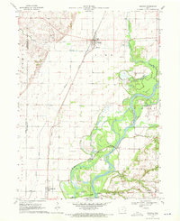
1970 · Nichols
USGS Topo · 1:24,000

1970 · Ainsworth
USGS Topo · 1:24,000
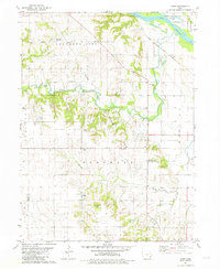
1981 · Cairo
USGS Topo · 1:24,000