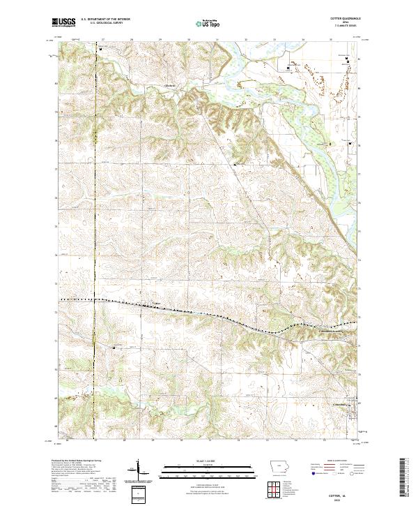
2022 Map of Cotter
USGS Topo · Published 2022About this map
Columbus Junction and Columbus City anchor the southeastern corner of this landscape, where the Iowa River flows through the eastern flats of Louisa County. The terrain transitions from the broad river valley to the rolling uplands of the west, a region defined by agricultural plots and a high concentration of local burial grounds. Numerous small family and community cemeteries, such as Beauchamp Cem, Nicholson Cem, and Bullis Cem, are scattered across the northern sections, providing significant data points for genealogists tracking early regional families. Central to the map is the settlement of Cotter, situated along the rail line that cuts across the territory. The drainage patterns of Goose Cr, Monkey Run, and Long Creek illustrate the natural irrigation of the Iowa prairie, while the Washington Co and Louisa Co line marks the western boundary of this rural survey.
Find a feature on this map
54 named features on this map. Tap any name to fly to it.
Don’t see what you’re looking for? This feature index may not catch every label — zoom into the map to look around manually.
Map Details
Editions of this 2022 Cotter Map
This is the sole edition of this map. No revisions or reprints were ever made.
Other maps of this area

1958 · Davenport
USGS Topo · 1:250,000

1961 · Davenport
USGS Topo · 1:250,000

1962 · Davenport
USGS Topo · 1:250,000
1969 · Riverside
USGS Topo · 1:24,000
1969 · Lone Tree
USGS Topo · 1:24,000

1970 · Cotter
USGS Topo · 1:24,000
1970 · Columbus Junction
USGS Topo · 1:24,000
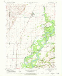
1970 · Nichols
USGS Topo · 1:24,000

1970 · Ainsworth
USGS Topo · 1:24,000
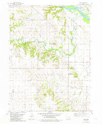
1981 · Cairo
USGS Topo · 1:24,000