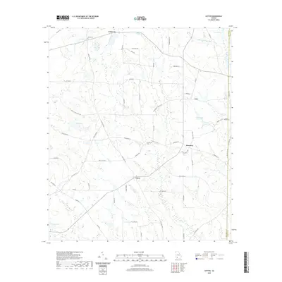
2020 Map of Cotton
USGS Topo · Published 2020About this map
The agrarian communities of Cotton and Hinsonton anchor this South Georgia landscape, situated within the drainage basins of the Little Ochlockonee River and Lost Cr. This contemporary topographic record reveals a region defined by its rural road network and namesake agricultural heritage, where routes like Tomato Rd, Produce Rd, and Stage Coach Rd reflect a long history of local commerce and transport. The map is punctuated by numerous family-named water bodies, including Rigsby Lake, Willingham Lake, and Connell Lake, alongside smaller tributaries like Thigpen Br. For genealogists, the presence of several established burial grounds such as Akridge Cem, Zion Hill Cem, and Liberty Hill Cem provides critical points of reference for family history research. The layout of the landscape, characterized by small settlements like Pebble City and Laney, demonstrates the persistent rural character of Mitchell County.
Find a feature on this map
57 named features on this map. Tap any name to fly to it.
Don’t see what you’re looking for? This feature index may not catch every label — zoom into the map to look around manually.
Map Details
Editions of this 2020 Cotton Map
This is the sole edition of this map. No revisions or reprints were ever made.
Other maps of this area

1953 · Dothan
USGS Topo · 1:250,000

1953 · Waycross
USGS Topo · 1:250,000

1954 · Dothan
USGS Topo · 1:250,000

1955 · Dothan
USGS Topo · 1:250,000

1956 · Baconton
USGS Topo · 1:62,500

1956 · Doerun
USGS Topo · 1:62,500

1958 · Waycross
USGS Topo · 1:250,000

1971 · Meigs
USGS Topo · 1:24,000

1971 · Camilla
USGS Topo · 1:24,000

1971 · Cotton
USGS Topo · 1:24,000