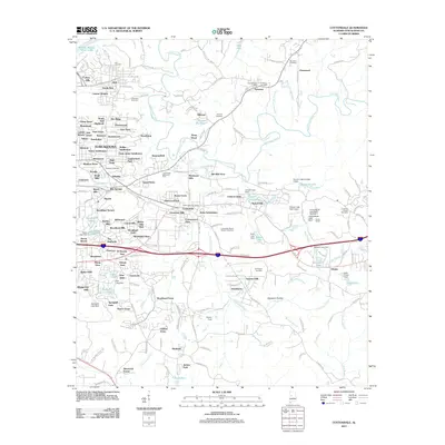
2011 Map of Cottondale
USGS Topo · Published 2011About this map
Hurricane Creek carves a winding path through this portion of eastern Tuscaloosa County, anchoring a landscape defined by burgeoning suburban subdivisions and established rural crossroads. Residential growth is evident in the dense network of neighborhoods like Colony Hills, Green Grove, and Arcadia, which contrast with the more open land surrounding the communities of Peterson and Fleetwood. The area's industrial and agricultural history is subtly marked by features such as Prudes Mill Pond and Old Mill Trace, while several small impoundments like Canyon Lakes and Echo Lake point to local water management and recreation.
Find a feature on this map
194 named features on this map. Tap any name to fly to it.
Don’t see what you’re looking for? This feature index may not catch every label — zoom into the map to look around manually.
Map Details
Editions of this 2011 Cottondale Map
This is the sole edition of this map. No revisions or reprints were ever made.
Other maps of this area

1899 · Brookwood
USGS Topo · 1:125,000

1924 · Tuscaloosa
USGS Topo · 1:62,500

1926 · Samantha
USGS Topo · 1:48,000

1926 · Tuscaloosa
USGS Topo · 1:62,500

1928 · Samantha
USGS Topo · 1:62,500

1929 · Searles
USGS Topo · 1:48,000

1931 · Cottondale
USGS Topo · 1:48,000

1934 · Searles
USGS Topo · 1:62,500

1934 · Cottondale
USGS Topo · 1:62,500

1953 · Birmingham
USGS Topo · 1:250,000